UPDATE: Winter Storm Warning For Cheyenne and Laramie
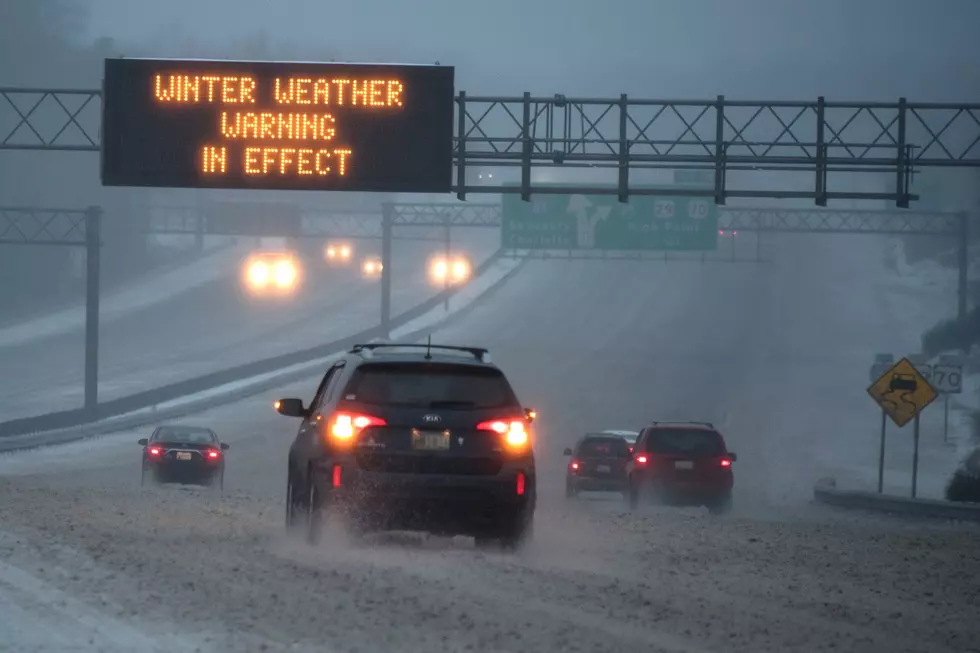
The start of Thanksgiving week looks to be dominated by a winter weather system that is expected to move into southeast Wyoming Monday into Tuesday. Heavy is snow expected. Total snow accumulations of 6 to 15 inches possible, with winds gusting as high as 35 mph.
The National Weather Service has issued a Winter Storm Warning in effect from 6:00 AM Monday (November 25) through 6:00 PM Tuesday (November 26).
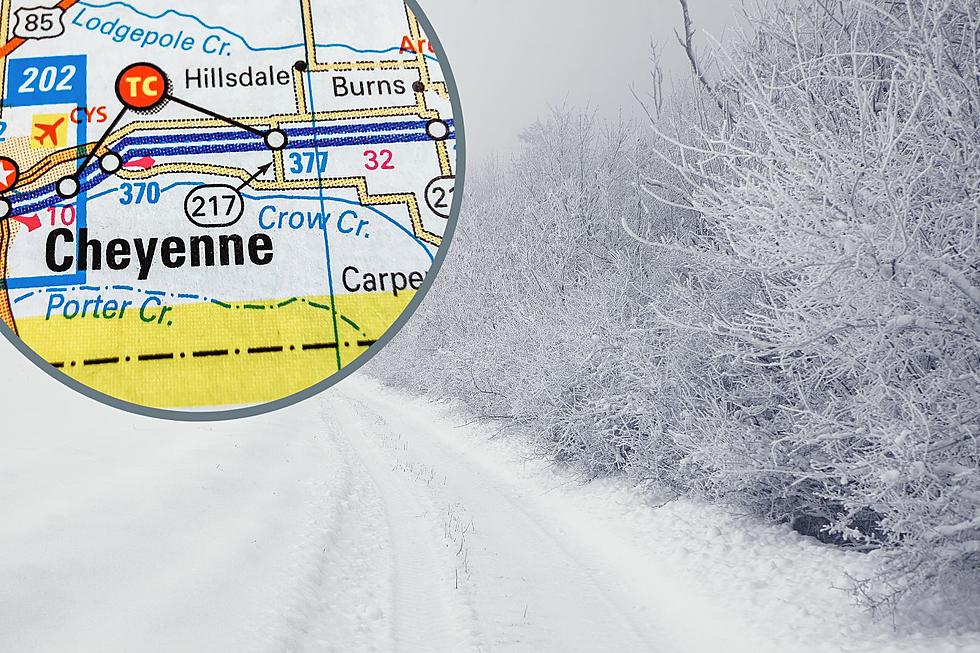
The warned area includes the cities of Cheyenne, Laramie, Torrington, Wheatland, Rawlins, and Douglas Wyoming. As well as the southern Nebraska Panhandle.
A Winter Storm Warning is issued when a combination of heavy snow, blowing snow, and possibly ice mixed with snow is expected to impact the area.
"Travel on I-80 and I-25 will really be impacted if these snow amounts materialize. Confidence is moderate at this time that these snow totals will happen. A factor in favor of higher snow amounts will be most of this will happen during the overnight hours into Tuesday morning, so snow will stick right away. A factor against these snow amounts would be if the low tracks further south into southern Colorado. In that case, heavier snow amounts would be further south. Regardless, travel is going to be impacted significantly across southeast Wyoming and Nebraska Panhandle. Plan on travel delays, allow yourself extra time to reach your destination. If you can, delay your travel or plan a different route to get to your destination. Stay tuned for later updates this afternoon on this developing winter storm system." NWS Cheyenne
Travel difficulties are likely because of slick and snow-covered roadways. Keep this in mind as you plan for Thanksgiving travel.
URGENT - WINTER WEATHER MESSAGE
National Weather Service Cheyenne WY
126 PM MST Sun Nov 24 2019

...HEAVY SNOW RETURNING TO SOUTHEAST WYOMING AND THE NEBRASKA
PANHANDLE MONDAY AND TUESDAY...

.Potential winter storm is anticipated to bring heavy
accumulating snowfall to the area Monday and Tuesday.

WYZ101-104>110-113-115>119-251200-
/O.UPG.KCYS.WS.A.0019.191125T1000Z-191126T1800Z/
/O.EXB.KCYS.WS.W.0019.191125T1000Z-191127T0100Z/
Converse County Lower Elevations-Ferris/Seminoe/Shirley Mountains-
Shirley Basin-Central Laramie Range and Southwest Platte County-
East Platte County-Goshen County-Central Carbon County-
North Snowy Range Foothills-Upper North Platte River Basin-
Laramie Valley-South Laramie Range-South Laramie Range Foothills-
Central Laramie County-East Laramie County-
Including the cities of Bill, Douglas, Deer Creek, Glenrock,
Seminoe Dam, Medicine Bow, Shirley Basin, Bordeaux, Wheatland,
Guernsey, Torrington, Rawlins, Arlington, Elk Mountain, Saratoga,
Encampment, Bosler, Laramie, Buford, Pumpkin Vine, Vedauwoo,
Whitaker, Federal, Horse Creek, Cheyenne, and Pine Bluffs
126 PM MST Sun Nov 24 2019

...WINTER STORM WARNING IN EFFECT FROM 3 AM MONDAY TO 6 PM MST
TUESDAY...

* WHAT...Heavy snow expected. Total snow accumulations of 6 to 15
  inches. Winds gusting as high as 35 mph.

* WHERE...Southeastern Wyoming.

* WHEN...From 3 AM Monday to 6 PM MST Tuesday.

* IMPACTS...Travel could be very difficult. The hazardous
  conditions could impact the holiday commuters.

PRECAUTIONARY/PREPAREDNESS ACTIONS...

If you must travel, keep an extra flashlight, food, and water in
your vehicle in case of an emergency.

The latest road conditions for the state you are calling from can
be obtained by calling 5 1 1.

More From 106.3 NOW FM