Severe Thunderstorm Watch For Cheyenne Saturday
From the National Weather Service, a Severe Thunderstorm Watch has been issued that includes much of eastern Colorado and Laramie Country in Wyoming, including the city of Cheyenne, in effect until 11:00 PM Saturday
REMEMBER...A Severe Thunderstorm Watch means conditions are favorable for severe thunderstorms in and close to the watch area. Persons in these areas should be on the lookout for threatening weather conditions and listen for later statements and possible warnings. Severe thunderstorms can and occasionally do produce tornadoes.- NWS
Graphic courtesy of National Weather Service
The NWS Storm Prediction Center has issued a
* Severe Thunderstorm Watch for portions of
Eastern Colorado
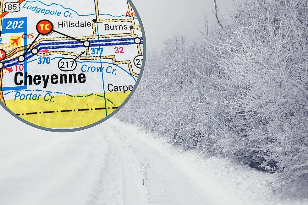
Far Southeast Wyoming
* Effective this Saturday afternoon and evening from 230 PM until
1100 PM MDT.
* Primary threats include...
Scattered damaging wind gusts to 70 mph possible
Scattered large hail events to 1.5 inches in diameter possible
SUMMARY...Strong-to-severe thunderstorms are expected to develop
along the I-25/urban corridor of eastern Colorado and far southeast
Wyoming through late afternoon. Severe hail and locally strong wind
gusts are expected. Over time, storms/outflows should merge with
increasing severe-wind potential late this afternoon and evening
across the High Plains of east-central/southeast Colorado.
The severe thunderstorm watch area is approximately along and 60
statute miles east and west of a line from 15 miles northwest of
Cheyenne WY to 30 miles west southwest of Springfield CO. For a
complete depiction of the watch see the associated watch outline
update (WOUS64 KWNS WOU3).More From 106.3 NOW FM