NWS Cheyenne: Near-Record Highs Expected East of I-25 Saturday
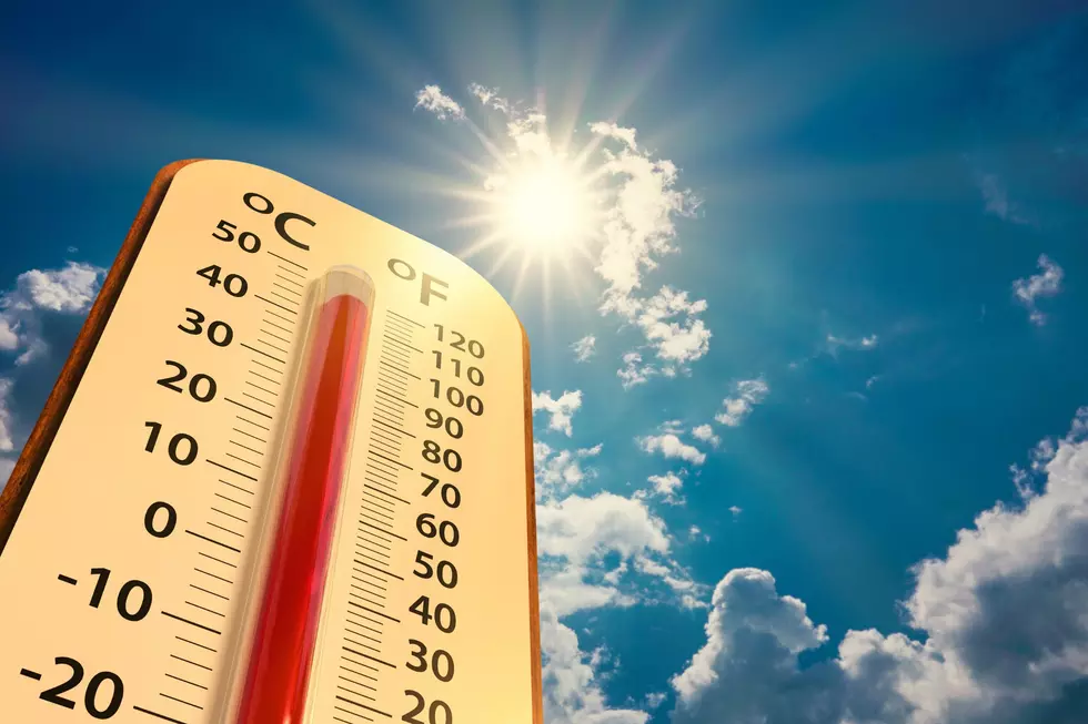
Saturday will be dry and hot with near-record highs along and east of Interstate 25, according to the National Weather Service in Cheyenne.
The agency issued the following statement early Friday morning:
4AM September 17 – As we enter in the weekend, a quick snapshot of what is store for many this weekend. Cooler temperatures prevail today as gusty and dry conditions will keep concerns high for quick fire spread under Red Flag Warning. Saturday will be dry and hot with near record highs along and east of I-25. Some late showers could be possible Saturday night across southern mountains in Carbon and Albany Counties. A few degrees cooler Sunday with return to showers and thunderstorms in the afternoon and evening.
The NWS has issued a Red Flag Warning for portions of southeast Wyoming and the Nebraska Panhandle, which is in effect from 11 a.m. to 8 p.m. Saturday.
3 PM 9/17 UPDATE – Red Flag Warnings are in effect for portions of southeast Wyoming and the Nebraska panhandle for gusty winds and low humidity Saturday afternoon! Fires may start and spread rapidly in these conditions! 1 year ago today the Mullen Wildfire, the largest in modern Wyoming history, started, so be careful and don't be the spark!
READ MORE:
- LOOK: Reflections on Seeing Wyoming's Mullen Fire Burn Scar
- NWS Cheyenne: Mountain Snow, Frost Possible Next Week
The Hottest and Coldest Days in Wyoming
More From 106.3 NOW FM