‘Critical’ Conditions Prompt Red Flag Warning for Wyo-Braska Area
The National Weather Service in Cheyenne has issued a Red Flag Warning for portions of southeast Wyoming and the southwestern Nebraska Panhandle.
The warning is in effect from 11 a.m. this morning to 7 p.m. this evening.
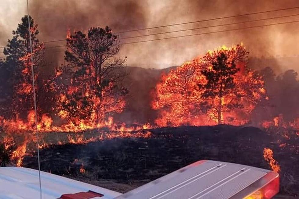
URGENT - FIRE WEATHER MESSAGE
National Weather Service Cheyenne WY
220 AM MDT Fri Oct 14 2022

...CRITICAL FIRE WEATHER CONDITIONS LIKELY THIS AFTERNOON...

NEZ437-WYZ430-431-141630-
/O.UPG.KCYS.FW.A.0020.221014T1700Z-221015T0100Z/
/O.NEW.KCYS.FW.W.0024.221014T1700Z-221015T0100Z/
Lodgepole Creek/Southern Nebraska Panhandle-
Laramie Foothills and High Plains-Laramie East High Plains-
220 AM MDT Fri Oct 14 2022

...RED FLAG WARNING IN EFFECT FROM 11 AM THIS MORNING TO 7 PM MDT
THIS EVENING FOR GUSTY WINDS AND LOW RELATIVE HUMIDITY FOR FIRE
WEATHER ZONES 430, 431, AND 437...

The National Weather Service in Cheyenne has issued a Red Flag
Warning, which is in effect from 11 AM this morning to 7 PM MDT
this evening. The Fire Weather Watch is no longer in effect.

* WIND...Northwest 20 to 30 MPH with gusts up to 45 MPH.

* HUMIDITY...Minimum 10 to 15 percent.

* IMPACTS...Any fires that develop will likely spread rapidly.
  Outdoor burning is not recommended.

PRECAUTIONARY/PREPAREDNESS ACTIONS...

A Red Flag Warning means that critical fire weather conditions
are either occurring now, or will shortly. A combination of
strong winds, low relative humidity, and warm temperatures can
contribute to extreme fire behavior.
URGENT - FIRE WEATHER MESSAGE
National Weather Service Cheyenne WY
220 AM MDT Fri Oct 14 2022

...CRITICAL FIRE WEATHER CONDITIONS LIKELY THIS AFTERNOON...

WYZ419-420-427>429-432-141630-
/O.NEW.KCYS.FW.W.0024.221014T1700Z-221015T0100Z/
North Laramie Range and Adjacent High Plains-
North Laramie Valley/Shirley Basin-North Snowy Range Foothills-
Southern Laramie Valley-Southern Laramie Range-
Bordeaux/Chugwater/Wheatland-
220 AM MDT Fri Oct 14 2022

...RED FLAG WARNING IN EFFECT FROM 11 AM THIS MORNING TO 7 PM MDT
THIS EVENING FOR GUSTY WINDS AND LOW RELATIVE HUMIDITY FOR FIRE
WEATHER ZONES 419, 420, 427, 428, 429, AND 432...

The National Weather Service in Cheyenne has issued a Red Flag
Warning, which is in effect from 11 AM this morning to 7 PM MDT
this evening.

* WIND...Northwest 15 to 25 MPH with gusts up to 40 MPH.

* HUMIDITY...Minimum 10 to 15 percent.

* IMPACTS...Any fires that develop will likely spread rapidly.
  Outdoor burning is not recommended.

PRECAUTIONARY/PREPAREDNESS ACTIONS...

A Red Flag Warning means that critical fire weather conditions
are either occurring now, or will shortly. A combination of
strong winds, low relative humidity, and warm temperatures can
contribute to extreme fire behavior.
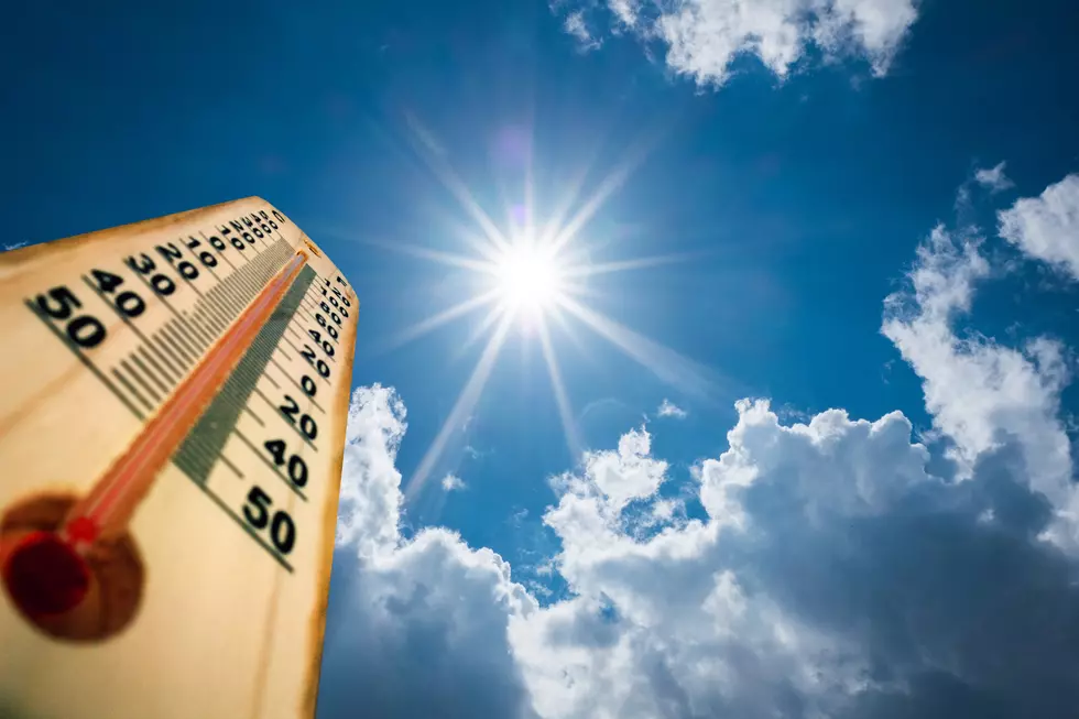
"Gusty NW winds are expected once again today, but increasing temperatures will drop humidity enough to significantly increase the fire danger this afternoon," the NWS said.

Humidity could reach as low as 10%, and winds could gust up to 45 mph.
"These conditions could lead to rapid fire growth if any fires ignite so burning of any kind is strongly discouraged," the NWS said.
5AM 10/14 – A Red Flag Warning has been issued covering 11AM until 7PM today! Gusty NW winds are expected once again today, but increasing temperatures will drop humidity enough to significantly increase the fire danger this afternoon. These conditions could lead to rapid fire growth if any fires ignite so burning of any kind is strongly discouraged.
Have You Seen The Marshall Fire Aftermath? These Photos Are Heartbreaking
More From 106.3 NOW FM