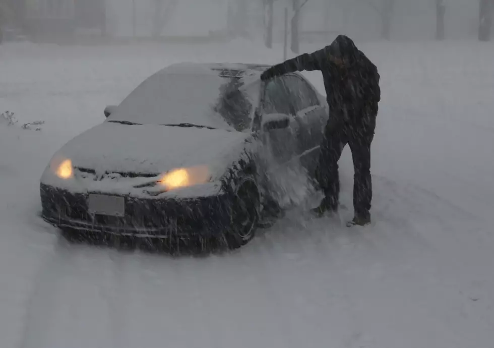
65+ MPH Gusts to Impact Travel in SE Wyoming Thursday-Friday
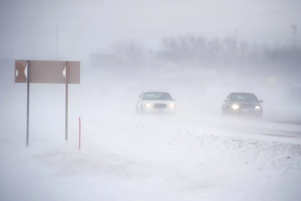
Another round of strong wind is expected to blast southeast Wyoming Thursday evening through Friday afternoon, according to the National Weather Service in Cheyenne.
A High Wind Watch is in effect from 5 p.m. Thursday to 2 p.m. Friday for the northern Snowy Range foothills, including Elk Mountain and Arlington, and southwest Platte County, including Bordeaux.
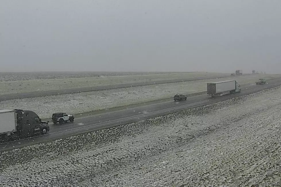
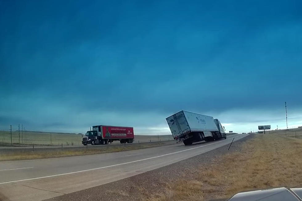
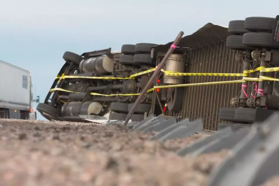
URGENT - WEATHER MESSAGE
National Weather Service Cheyenne WY
1221 PM MST Wed Nov 17 2021

WYZ106-110-181100-
/O.NEW.KCYS.HW.A.0036.211119T0000Z-211119T2100Z/
Central Laramie Range and Southwest Platte County-
North Snowy Range Foothills-
Including the cities of Bordeaux, Arlington, and Elk Mountain
1221 PM MST Wed Nov 17 2021

...HIGH WIND WATCH IN EFFECT FROM THURSDAY AFTERNOON THROUGH
FRIDAY AFTERNOON...

* WHAT...West to southwest winds 35 to 45 mph with gusts up to 65
  mph possible.

* WHERE...North Snowy Range Foothills, including Elk Mountain and
  Arlington. Southwest Platte County, including Bordeaux.

* WHEN...5 PM Thursday evening until 2 PM Friday Afternoon.

* IMPACTS...Mainly to transportation. Strong cross winds are
  extremely dangerous to light weight and high profile vehicles,
  including campers and tractor trailers.  There will be a high
  risk for vehicle blow overs and these areas, especially between
  mile markers 240 and 290 along Interstate 80, and mile markers
  60 and 80 along Interstate 25.

PRECAUTIONARY/PREPAREDNESS ACTIONS...

A High Wind Watch means there is the potential for a hazardous
high wind event. Sustained winds of at least 40 mph...or gusts of
58 mph or stronger may occur. Continue to monitor the latest
forecasts.

"There will be a high risk for vehicle blow overs ... especially between mile markers 240 and 290 along Interstate 80 and mile markers 60 and 80 along Interstate 25," the NWS said.
2PM 11/17 – We hope you enjoyed the brief reprieve from the high winds! Unfortunately, it won't last long. Another High Wind Watch has been issued for wind prone areas starting Thursday evening and continuing through Friday afternoon. This affects I-80 between mile marker 240 and 290 around Arlington and I-25 between mile markers 60 and 80 around Bordeaux. For the latest road conditions in Wyoming, refer to www.wyoroad.info
Drivers are encouraged to call 511 or go to wyoroad.info for the latest road conditions and closure information.
LOOK: The most expensive weather and climate disasters in recent decades
KEEP READING: Get answers to 51 of the most frequently asked weather questions...
More From 106.3 NOW FM