60 MPH Wind Gusts to Blast Parts of Southeast Wyoming Friday-Saturday
Strong winds are expected to blast southeast Wyoming Friday afternoon through Saturday afternoon, according to the National Weather Service in Cheyenne.
A High Wind Watch is in effect from noon Friday to 3 p.m. Saturday for wind-prone areas, including the roughly 60-mile stretch of Interstate 80 between Rawlins and Arlington as well as the roughly 25-mile stretch of Interstate 25 between Chugwater and Wheatland.
URGENT - WEATHER MESSAGE
National Weather Service Cheyenne WY
132 PM MDT Thu Oct 20 2022

WYZ104-106-109-110-211000-
/O.NEW.KCYS.HW.A.0043.221021T1800Z-221022T2100Z/
Ferris/Seminoe/Shirley Mountains-
Central Laramie Range and Southwest Platte County-
Central Carbon County-North Snowy Range Foothills-
Including the cities of Seminoe Dam, Bordeaux, Rawlins,
Arlington, and Elk Mountain
132 PM MDT Thu Oct 20 2022

...HIGH WIND WATCH IN EFFECT FROM FRIDAY AFTERNOON THROUGH
SATURDAY AFTERNOON...

* WHAT...Southwest winds 35 to 45 mph with gusts up to 60 mph
  possible.

* WHERE...Ferris/Seminoe/Shirley Mountains, Central Laramie
  Range and Southwest Platte County, Central Carbon County and
  North Snowy Range Foothills.

* WHEN...From Friday afternoon through Saturday afternoon.

* IMPACTS...Damaging winds could blow down trees and power
  lines. Widespread power outages are possible. Travel could be
  difficult, especially for high profile vehicles.

PRECAUTIONARY/PREPAREDNESS ACTIONS...

Monitor the latest forecasts and warnings for updates on this
situation. Fasten loose objects or shelter objects in a safe
location prior to the onset of winds.

The NWS says southwest winds of 35 to 45 mph with gusts up to 60 mph are possible.
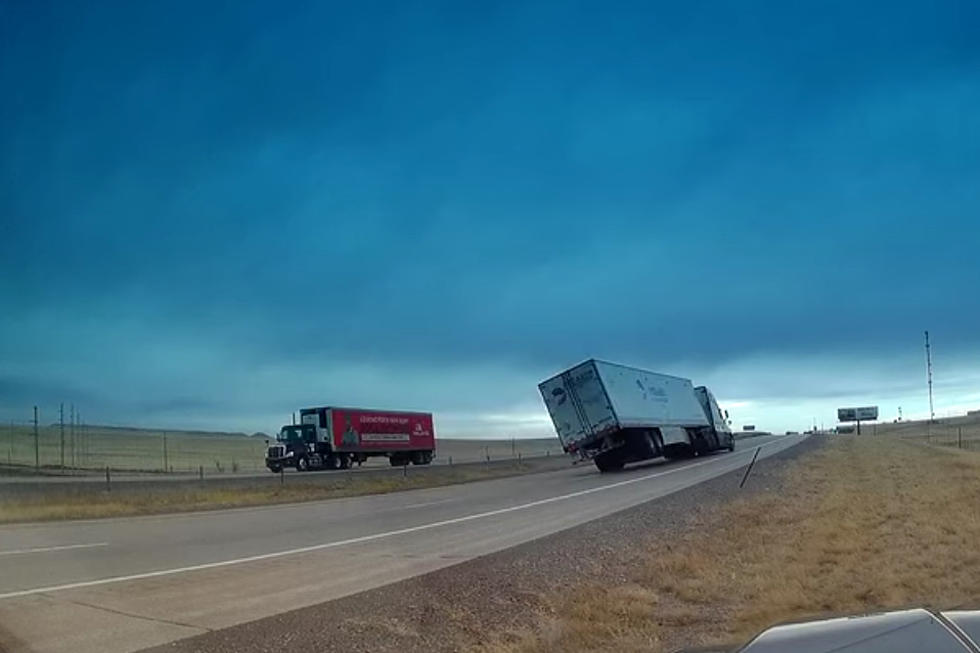
"Those towing camper trailers and truckers with light loads will see a risk for blowoffs or blow overs," the NWS said.
Drivers are encouraged to call 511 or go to wyoroad.info for the latest road closures and advisories.
3PM Thursday, 10/20/2022: A High Wind Watch is in effect for the areas highlighted above from 12PM Friday to 3 PM Saturday. Westerly winds 35 to 45 mph with gusts up to 60 mph possible. Those towing camper trailers and truckers with light loads will see a risk for blowoffs or blow overs. For information on road conditions, refer to wyoroad.info. For the weather forecast, refer to weather.gov/cys
Here's What Wyomingites REALLY Think About The Wind
TIPS: Here's how you can prepare for power outages
More From 106.3 NOW FM