60 MPH Wind Gusts Expected to Blast Portions of I-25, I-80 Friday
Wind gusts up to 60 mph are expected to blast portions of interstates 25 and 80 in southeast Wyoming late tonight through Friday afternoon, according to the National Weather Service in Cheyenne.
A High Wind Watch remains in effect for the central Laramie Range, southwest Platte County, the north Snowy Range foothills, and the south Laramie Range.
URGENT - WEATHER MESSAGE
National Weather Service Cheyenne WY
749 AM MDT Thu May 5 2022

WYZ106-110-116-052200-
/O.CON.KCYS.HW.A.0034.220506T0900Z-220507T0000Z/
Central Laramie Range and Southwest Platte County-
North Snowy Range Foothills-South Laramie Range-
Including the cities of Bordeaux, Arlington, Elk Mountain,
Buford, Pumpkin Vine, and Vedauwoo
749 AM MDT Thu May 5 2022

...HIGH WIND WATCH REMAINS IN EFFECT FROM LATE TONIGHT THROUGH
FRIDAY AFTERNOON...

* WHAT...West winds 30 to 40 mph with gusts up to 60 mph
  possible.

* WHERE...South Laramie Range, Central Laramie Range and
  Southwest Platte County and North Snowy Range Foothills.

* WHEN...From late tonight through Friday afternoon.

* IMPACTS...Mainly to transportation. Strong cross winds will be
  hazardous to light weight and high profile vehicles, including
  campers and tractor trailers.

PRECAUTIONARY/PREPAREDNESS ACTIONS...

A High Wind Watch means there is the potential for a hazardous
high wind event. Sustained winds of at least 40 mph, or gusts of
58 mph or stronger may occur. Continue to monitor the latest
forecasts.

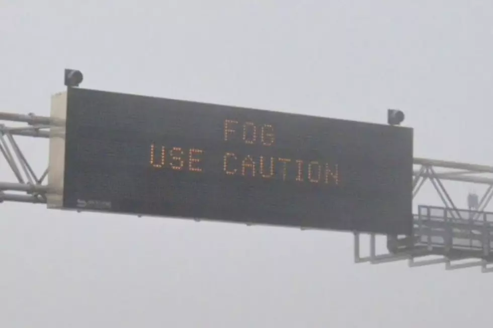
"Use caution if traveling with light and high profile vehicles," the NWS said.
Drivers are encouraged to call 511 or go to wyoroad.info for the latest road conditions and closure information.

5AM May 5th – High Wind Watches are in effect Friday across portions of southeast Wyoming with gusts 50 to 60 mph possible in the wind prone corridors. Use caution if traveling with light and high profile vehicles. For road conditions and information, refer to wyoroad.info. Overall, should be a windy day across the region with much of the Nebraska Panhandle also likely to see afternoon wind gusts 30 to 40 mph. For the latest forecast, refer to weather.gov/cys
READ MORE:
LOOK: The most expensive weather and climate disasters in recent decades
Gallery Credit: KATELYN LEBOFF
More From 106.3 NOW FM