Winter Storm Could Drop Half a Foot of Snow on I-80 Summit
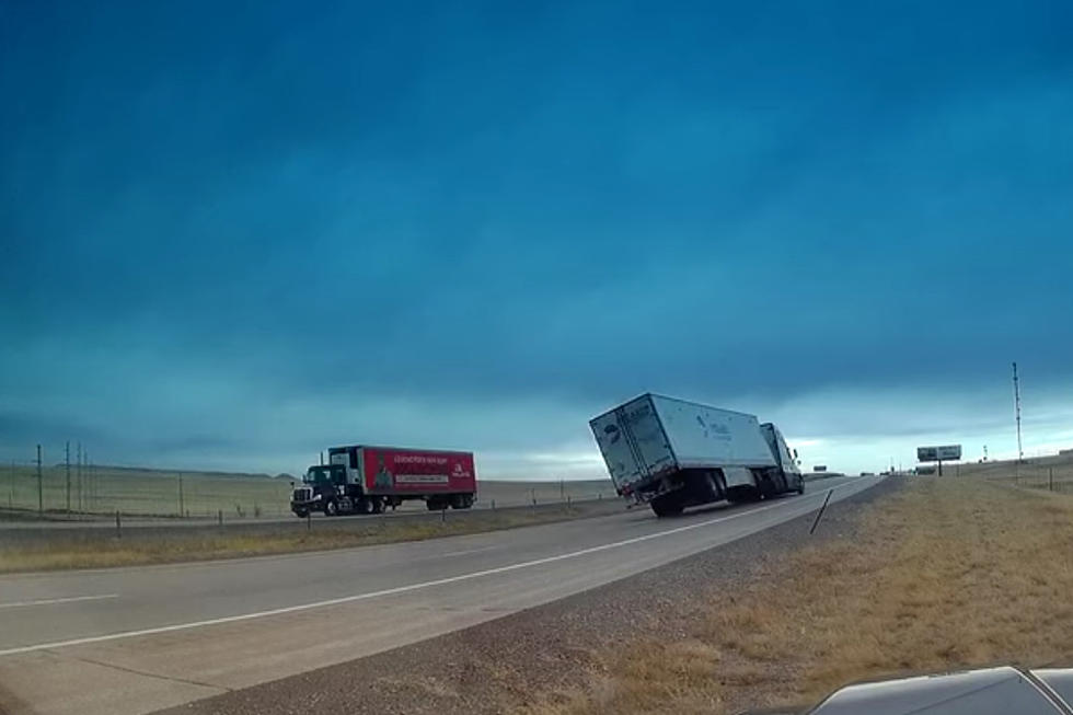
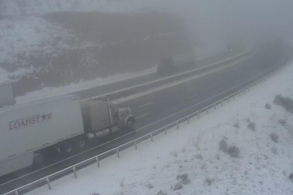
Travel could be very difficult along Interstate 80 west of Cheyenne this evening into early Wednesday morning, where up to half a foot of snow could fall.
A Winter Weather Advisory is in effect for the Laramie Valley and Laramie Range through 6 a.m. Wednesday.
The National Weather Service in Cheyenne issued the following "Situational Report" Tuesday afternoon:
Update 250pm 10/19 - Brief moderate to heavy snow is ongoing across portions of the area. Winter Weather Advisories were expanded across Laramie Valley and the I-80 Summit along with north Nebraska Panhandle. Upwards of 6-12" in the higher terrain and locally 3-6" in the Advisory area is possible. Travel likely will be impacted along portions of I-80, I-25, and Highway 20 into the north Nebraska Panhandle. Snow impacts will taper off through early Wednesday morning.

10/19 3pm Update - Here are the latest snowfall projections through early Wednesday morning across the region. Locally brief moderate to heavy snow will occur this afternoon into tonight. Snow rates will be heaviest this afternoon to early evening. Local travel impacts are likely through early Wednesday morning. Stay safe and take it slow out there.
Drivers are encouraged to call 511 or go to wyoroad.info for the latest road conditions and closure information.
A Look Back At Cheyenne's Worst October Snow Storms
Pictures From Wyoming Snowpocalypse 2021
More From 106.3 NOW FM