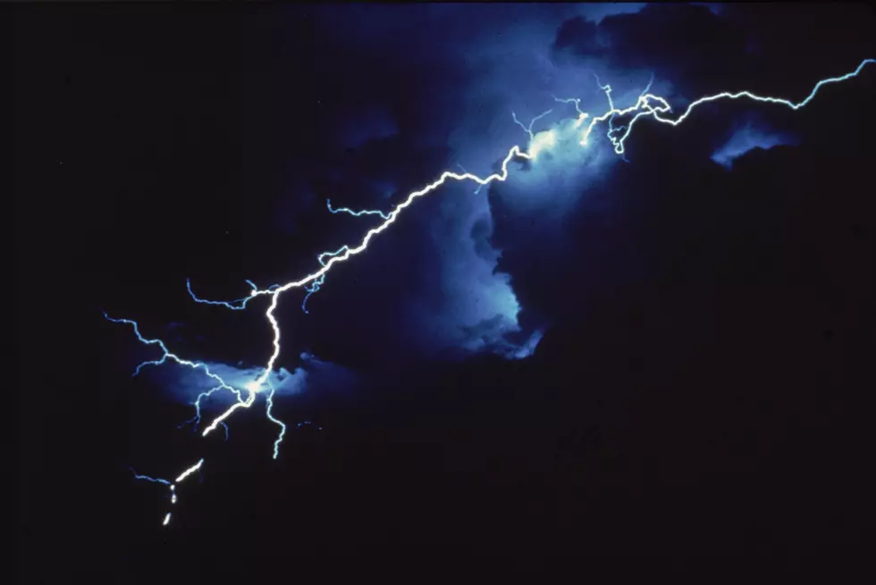
Severe Thunderstorm Watch For Cheyenne Thursday
The National Weather Service has issued a Severe Thunderstorm Watch for parts of southeastern Wyoming, northeastern Colorado, and the Nebraska Panhandle, that includes the city of Cheyenne, in effect until 9:00 PM Thursday (August 1).
A Severe Thunderstorm Watch means conditions are favorable for severe thunderstorms in and close to the watch area. Persons in these areas should be on the lookout for threatening
weather conditions and listen for later statements and possible warnings. Severe thunderstorms can and occasionally do produce tornadoes.
Primary threats include...
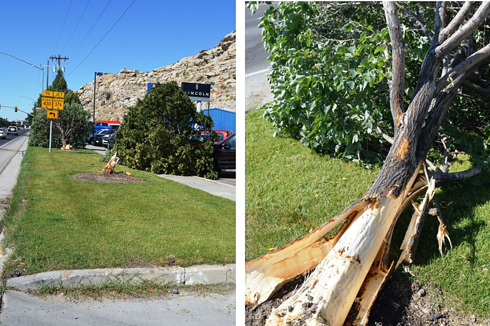
Scattered large hail and isolated very large hail events to 2
inches in diameter possible
Scattered damaging wind gusts to 70 mph possible
SUMMARY...Thunderstorms are expected to increase in coverage through
the afternoon across the watch area, with a few severe storms
expected. Large hail and damaging winds will be possible in the
strongest cells through the early evening.
The severe thunderstorm watch area is approximately along and 60
statute miles east and west of a line from 50 miles south southeast
of Limon CO to 35 miles north northeast of Torrington WY. For a
complete depiction of the watch see the associated watch outline
update (WOUS64 KWNS WOU9).
More From 106.3 NOW FM

![Dierks Bentley Visits ‘Today’ Show, Leaves With New Puppy [Watch]](http://townsquare.media/site/204/files/2019/08/dierks-bentley-puppy-goose-today-show.jpg?w=980&q=75)


![Keith Urban’s Acoustic ‘We Were’ Will Leave You Longing for Lost Love [Listen]](http://townsquare.media/site/204/files/2019/02/keith-urban-crs-2019-we-were.jpg?w=980&q=75)