Severe Storms, Large Hail, Heavy Rainfall Possible In SE Wyoming
The Cheyenne Office of the National Weather Service says a front that has stalled out in Wyoming could lead to some severe weather in some areas of Southeast Wyoming and the Nebraska Panhandle.
The agency posted this statement on its website:
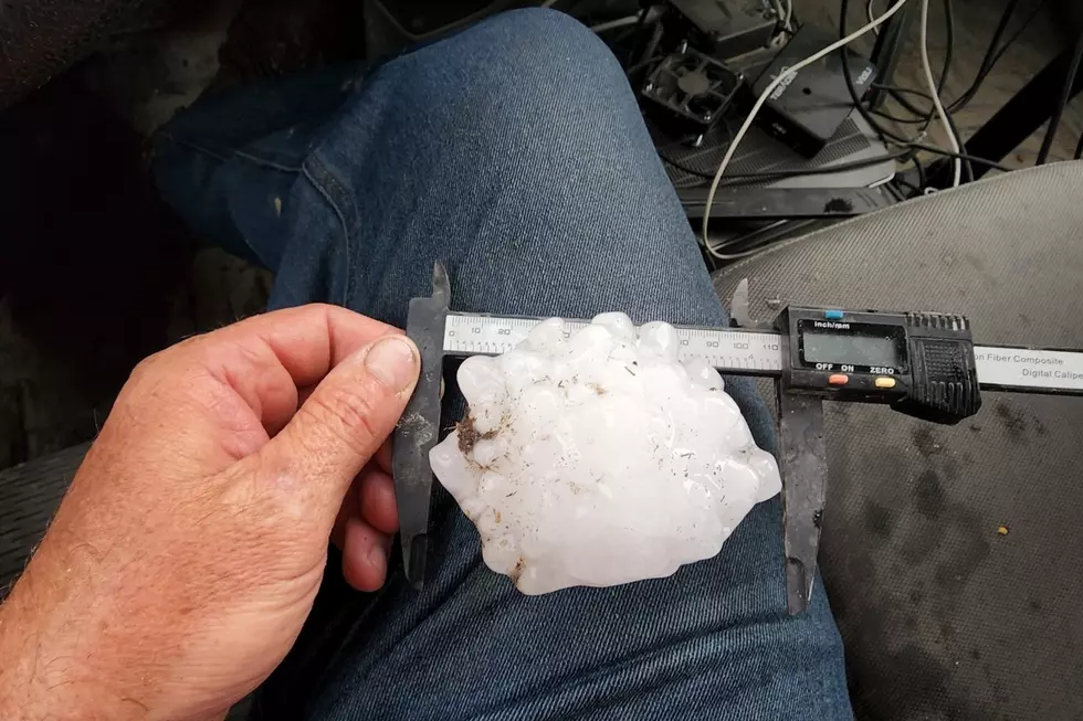
''25/310AM: Greetings! Looking at the potential for severe thunderstorms late this afternoon, into the evening hours across parts of southeast Wyoming and the northern Nebraska Panhandle. A stalled out front currently located along the east slopes of the Laramie Range this morning, will lift northeast through the early afternoon hours. Strong to severe thunderstorms are possible along and north of this front as it moves northeast. A Marginal Risk area for severe thunderstorms has been identified along and north of a line from Glenrock to Lusk to Chadron this afternoon and early evening. The main threat today is strong downburst winds, but large hail and heavy rainfall could be possible as well. Stay weather aware later while enjoying your Thursday afternoon and have a way to receive warnings notifications!''
Crazy Flooding In Bar Nunn Turns Cars Into Boats
More From 106.3 NOW FM