Stay prepared as cooler, wetter weather approaches southeast Wyoming. Daily showers and thunderstorms expected, with higher chances on Wednesday and Friday. Keep an eye out for isolated severe storms!
The Cheyenne Office of the National Weather Service warns of severe thunderstorms from 1pm to 8pm. Stay alert for potential hazards like damaging winds and large hail.
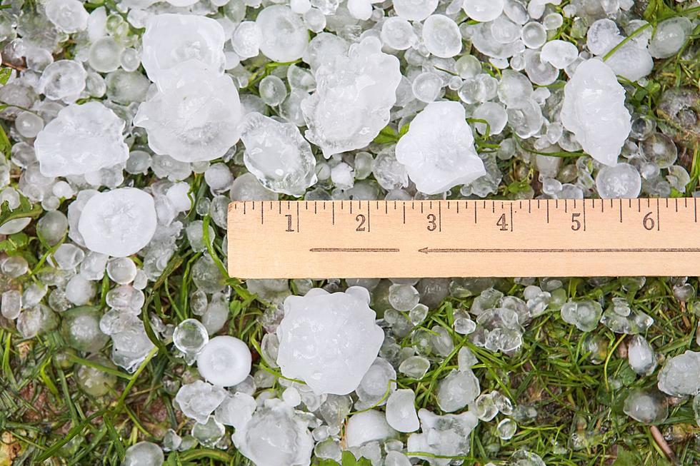
The Cheyenne Office of the National Weather Service is warning about severe storms again today in southeast Wyoming.
The storms could feature golf-ball size hail, heavy rain leading to flash flooding, and 60-mile-per-hour winds. An isolated tornado is also possible...
Southeast Wyoming braces for unseasonably cool temps and gusty winds reaching up to 40 MPH. Showers and thunderstorms expected, with a chance of storms in the evening.
Southeast Wyoming braces for cold front and strong winds starting Monday night, with temperatures on the mountains dropping to 30s and gusts up to 65 mph.
Residents in southeast Wyoming should prepare for strong storms bringing hail and high winds. Monitor updates and stay safe during severe weather conditions