SE Wyoming Mountains Could See Heavy Snow Sunday
While southeast Wyoming residents are currently enjoying a spell of almost summer-like weather, the Cheyenne Office of the National Weather Service says big changes could be on the way in a few days.
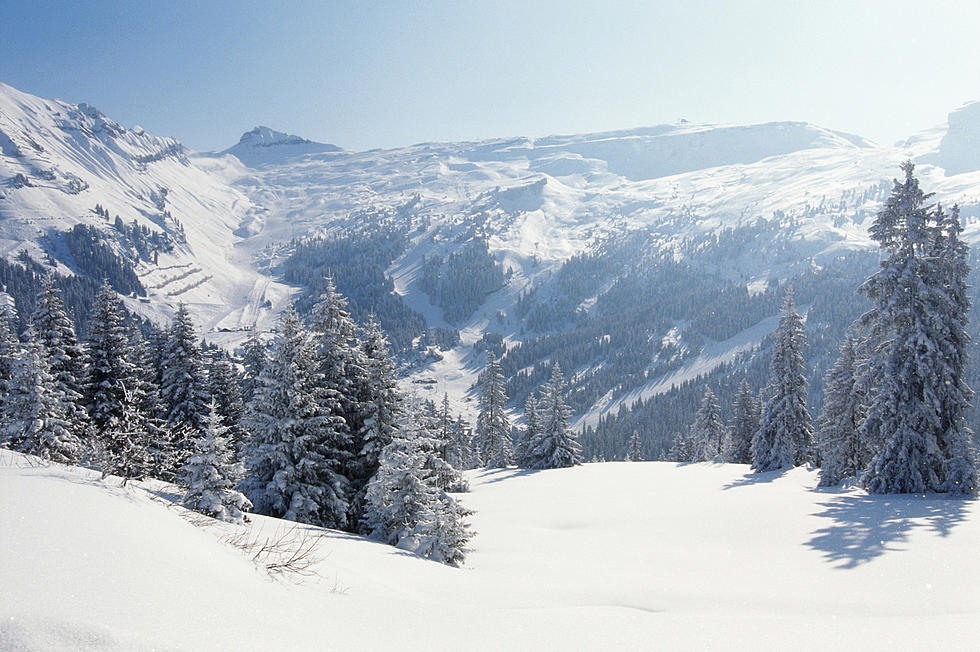
That could include widespread rain and snow, with possibly heavy accumulations of the white stuff at higher elevations.
The agency posted this statement on its website:
'Howdy! Forecast still on track for a change in the weather across southeast Wyoming and Nebraska Panhandle, for the end of the week into the weekend. We'll be dealing with critical fire weather conditions Thursday through Saturday across much of the area. Worst days for fire weather will be Thursday and Friday, as most areas look to be under fire weather headlines. Increasing winds Friday and Saturday as a cold front approaches from the west. Could see warning level winds in the wind prone areas Friday and Saturday, that could impact travel for light weight and high profile vehicles on Interstates 80 and 25. Front looks to barrel through Saturday night, with rain turning to snow west of the front. Snowy and Sierra Madre Ranges could see heavy snow accumulations late Saturday night through Sunday night. Hunters need to plan for winter weather this weekend. Could see a rain/snow mix east of the Laramie Range Sunday night into Monday. Stay tuned!''

2017 Total Eclipse in Wyoming
More From 106.3 NOW FM