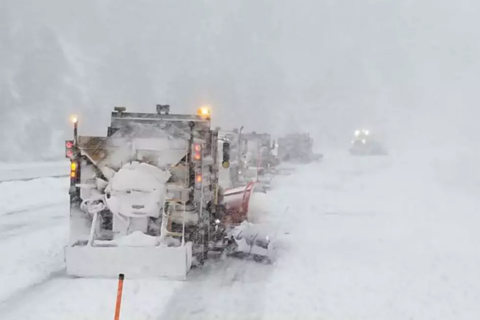
NWS Cheyenne: Heavy Snow Possible Late Tonight-Friday Morning
Much of southeast Wyoming and the Nebraska Panhandle could see heavy snow late tonight through Friday morning.
The National Weather Service in Cheyenne says snow is expected to start falling in the mountains late tonight, spread to the lower elevations in Carbon and Albany counties Thursday morning, and then reach the plains Thursday afternoon.
More than five inches of snow is possible in the lower elevations, while the mountains could see up to 20 inches.

Be sure to dial 511 or check wyoroad.info or 511.nebraska.gov for road information prior to traveling.
12/7 3PM – A Winter Storm Watch has been issued for much of our area for heavy snow possible late Wednesday night through Friday morning. Snow is expected to begin first in the mountains late Wednesday night, spread to the lower elevations in Carbon/Albany counties Thursday morning, and then reach the plains Thursday afternoon. Total accumulations of 5 or more inches are possible in the lower elevations of the watch area, with 10-20 inches in the mountains. Uncertainty is greater for the I-80 corridor at this time, so please stay tuned for the latest!
Pictures From Wyoming Snowpocalypse 2021
The Worst Storms Of The Decade In Southeast Wyoming
LOOK: The most expensive weather and climate disasters in recent decades
More From 106.3 NOW FM