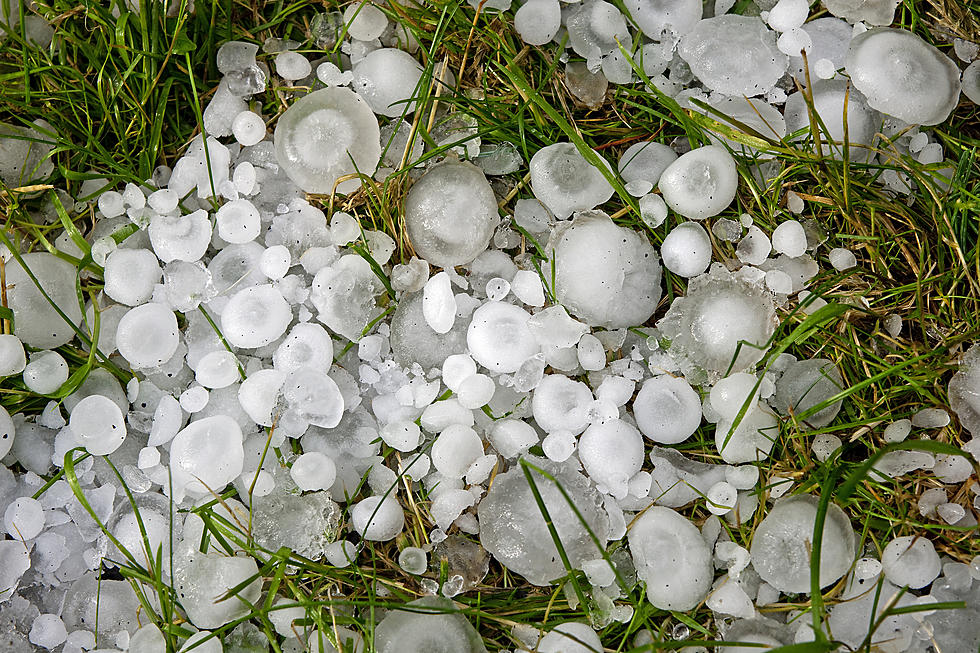
Large Hail, Strong Winds, Flooding Possible In SE Wyoming Tuesday
The Cheyenne Office of the National Weather Service is warning about possible severe storms in southeast Wyoming and the Nebraska Panhandle on Tuesday and Wednesday.
The agency posted this statement on its website:
We're changing gears here in the weather forecast from fire weather concerns to the possibility of severe thunderstorms. A Marginal Risk area has been identified for southeast Wyoming, basically along and east of a line from Laramie to Glenrock Tuesday afternoon. A Slight Risk area has been identified for the Nebraska Panhandle from just east of Kimball, to Scottsbluff to Crawford. There are increasing concerns for severe thunderstorms to develop Tuesday afternoon that could continue into the evening hours. Very large hail, downburst winds and heavy rainfall possibly leading to isolated flash flooding are all possible Tuesday. Perhaps an even higher risk for severe storms are possible Wednesday as a cold front moving in from the north and northeast stalls along the east slopes of the Laramie Range. For now, we're going with a Marginal Risk for severe thunderstorms Wednesday. As we get closer to the event, the risk area will likely be increased. Keep an eye on the sky Tuesday and Wednesday as severe storms are likely possible.
More From 106.3 NOW FM