Cool, Wet Week Ahead For SE Wyoming, Nebraska Panhandle
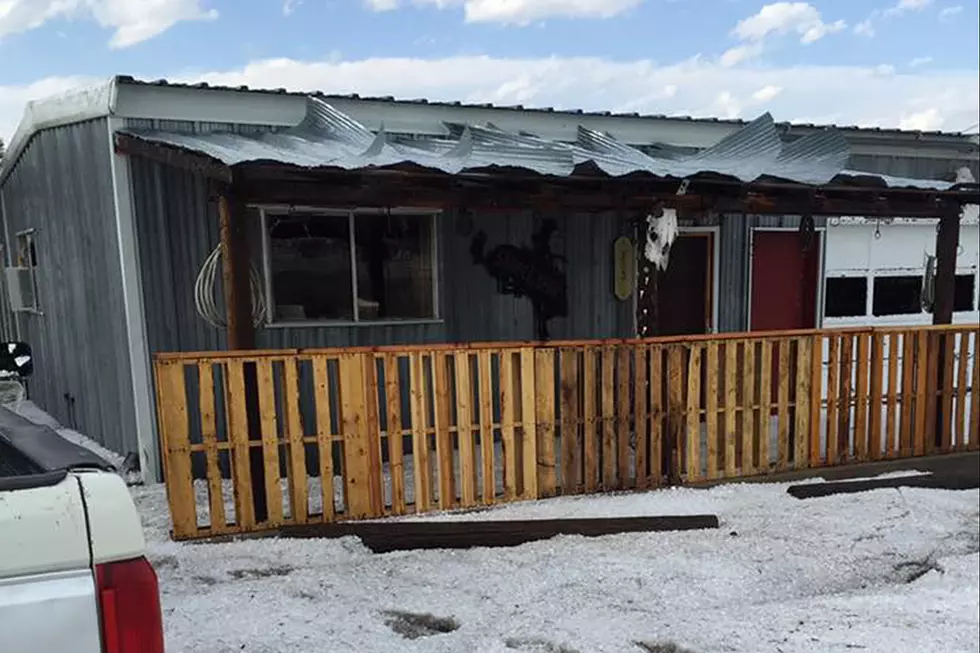
Southeast Wyoming and the Nebraska Panhandle are expected to receive some much-needed precipitation over the next few days, according to the Cheyenne Office of the National Weather Service.
The agency says today (May 31) will fit that pattern:
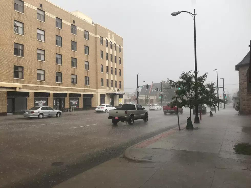
Cooler than average temperatures will continue today with rain shower activity developing further south towards the Colorado border and I-80 corridor this afternoon through tonight. Isolated thunderstorms are possible this afternoon.
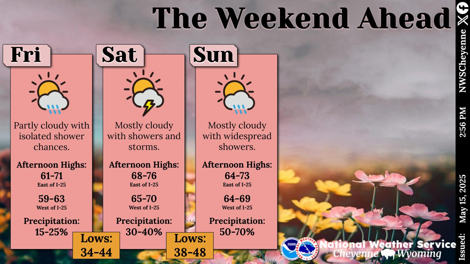
More rain is in the forecast for this weekend:
Here's a look at the weather forecast for southeast Wyoming and Nebraska Panhandle, mid week into next weekend. Wednesday features rain showers decreasing through the day. Could be a few rumbles of thunder during the afternoon hours, mainly in the western mountains. Dry Thursday with warming temperatures. Showers and thunderstorms return beginning Friday and continuing into the weekend. Best coverage of showers and storms, look to occur east of the Laramie Range, during the afternoon and early evening.
Best Playground in Cheyenne, According to Locals
Gallery Credit: Joy Greenwald
More From 106.3 NOW FM