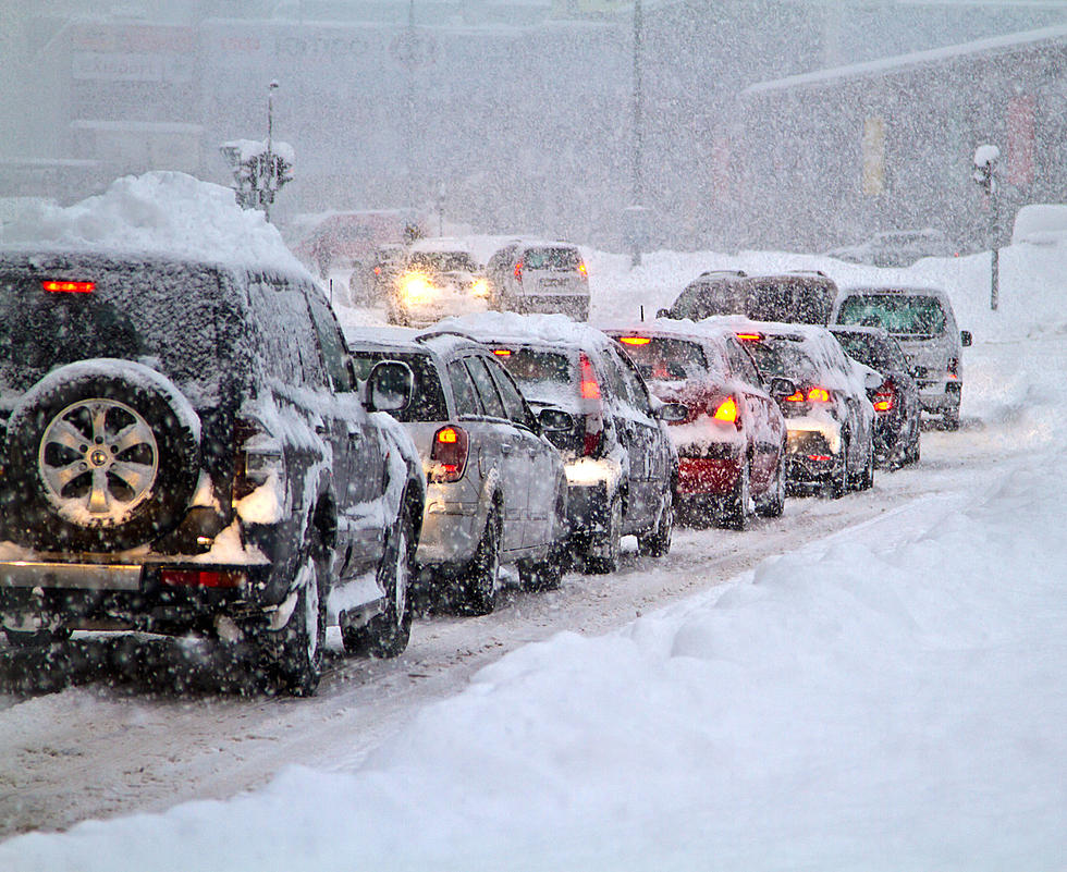
Cheyenne Facing Winter Storm Warning, 8 Inches Of Snow Possible
The Cheyenne Office of the National Weather Service has upgraded what had been a Winter Storm Watch for much of southeast Wyoming to a Winter Storm Warning.
That's according to a weather statement issued by the agency this morning. Cheyenne was included in the Winter Storm Warning and could get up to 8 inches of snow.
Laramie remains just outside of the warning area, but was under a Winter Weather Advisory.
The agency posted the following statement on it's website:
Winter Storm Warnings and Winter Weather Advisories have been issued for portions of our area! Another arctic cold front is on its way this morning and will be responsible for accumulating snow and cold temperatures expected over the next few days. A few snow showers will push into the northern part of our area this morning, with some light daytime accumulation up to an inch or two around the Pine Ridge in the northern Nebraska panhandle and Converse/Niobrara counties in WY. Moderate to heavy snowfall will fill in across the area late this afternoon into the evening, with the heaviest snowfall expected overnight. Total accumulations of 2 to 6 inches expected in the Advisory areas. The Warning areas have the highest probabilities for accumulations of 5 or more inches. Greater uncertainty exists in the Watch areas, but about 4 to 8 inches is possible there. For the latest updates, visit weather.gov/CYS
But much of the rest of southeast Wyoming and parts of the Nebraska Panhandle could get several inches of snow.
A Comprehensive List of Video Games That Take Place in Wyoming
Apartment Fire in Mills, Wyoming
More From 106.3 NOW FM