65 MPH Winds, Ping-Pong Ball Hail, Brief Tornado Possible Today In SE Wyoming
The Cheyenne Office of the National Weather Service is warning about possible severe weather in southeast Wyoming and the Nebraska Panhandle this afternoon.
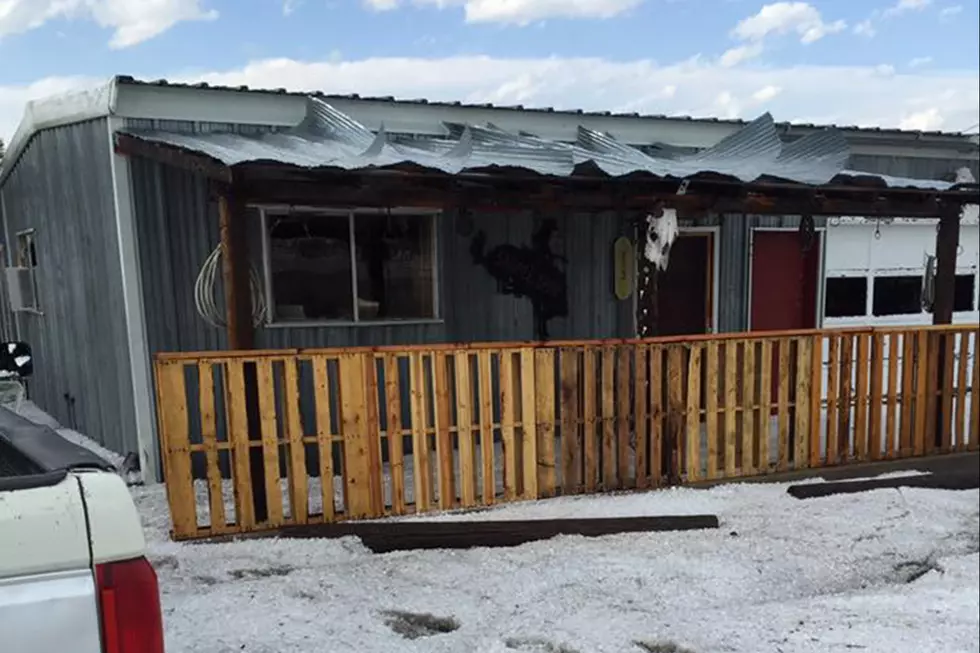
The weather could include ping-pong ball size hail, 65 miles per hour winds, and even a brief tornado. Heavy rain and flash flooding is also possible in some areas.
That's according to a post on the agency's Facebook page:
What: Scattered to numerous showers & thunderstorms this afternoon & evening - some could be strong to severe.
Where: Southeast Wyoming along and east of a Glenrock to Cheyenne Line into the Nebraska Panhandle. There is a slightly higher area of concentration outlined in the dotted line area from Converse County eastward into Niobrara and portions of Platte, Goshen and into the northern and central Nebraska Panhandle.
When:
2/3pm - 9pm WY
3pm - 11pm NE Panhandle
Hazards Possible: Strongest storms could have quarter/ping-pong hail, 50-65 mph winds, a brief tornado, & local heavy rain.
Overall confidence on storms occurring is high but overall potency will be limited in large scope. That said, there could be 1-2 very strong storms with impactful hazards. Stay alert this afternoon to the changing conditions.

The agency posted the following map as well:

KEEP READING: Get answers to 51 of the most frequently asked weather questions...
More From 106.3 NOW FM