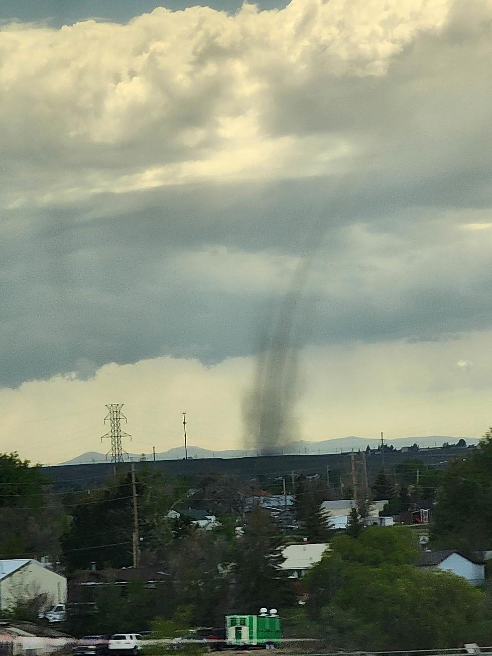
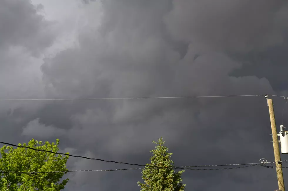
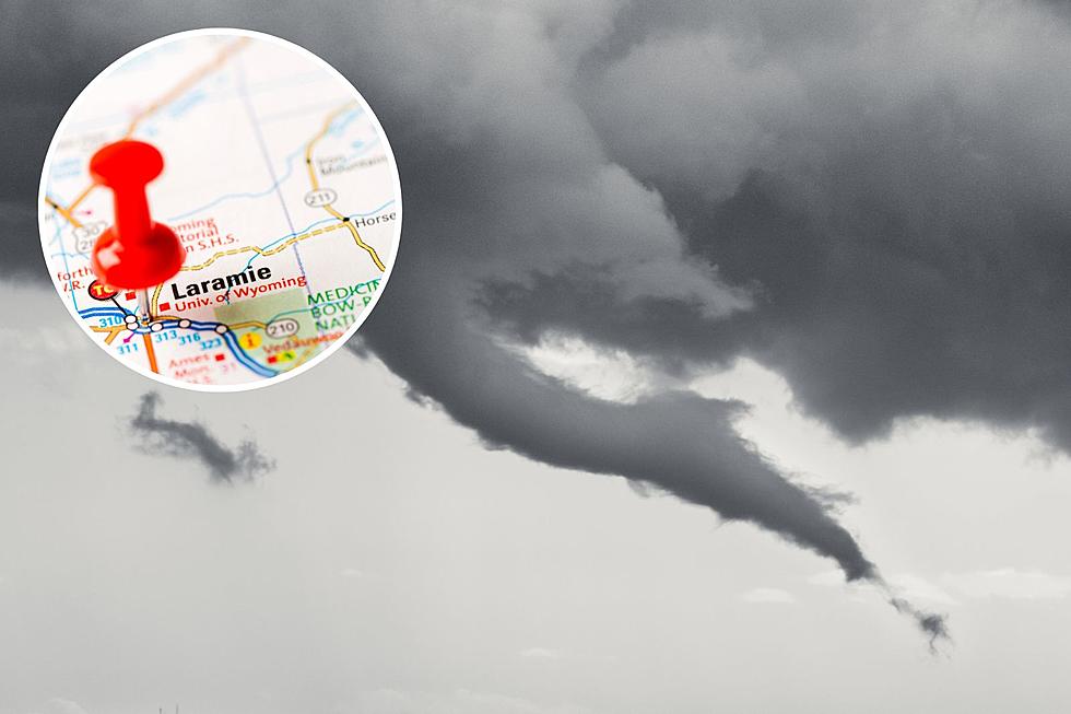
The Cheyenne Office of the National Weather Service is warning about the possibility of severe thunderstorms in southeast Wyoming and the Nebraska Panhandle today.
After today, rain chances really begin to ramp up, with widespread showers and thunderstorms returning Wednesday and continuing through the rest of the week.
The Cheyenne Office of the National Weather Service says locally heavy rainfall is possible in southeast Wyoming today and Thursday.
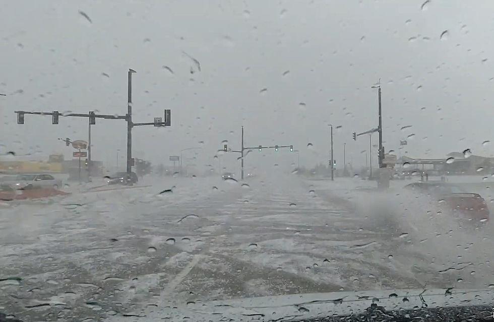
Small hail and strong winds are also possible with the storms.