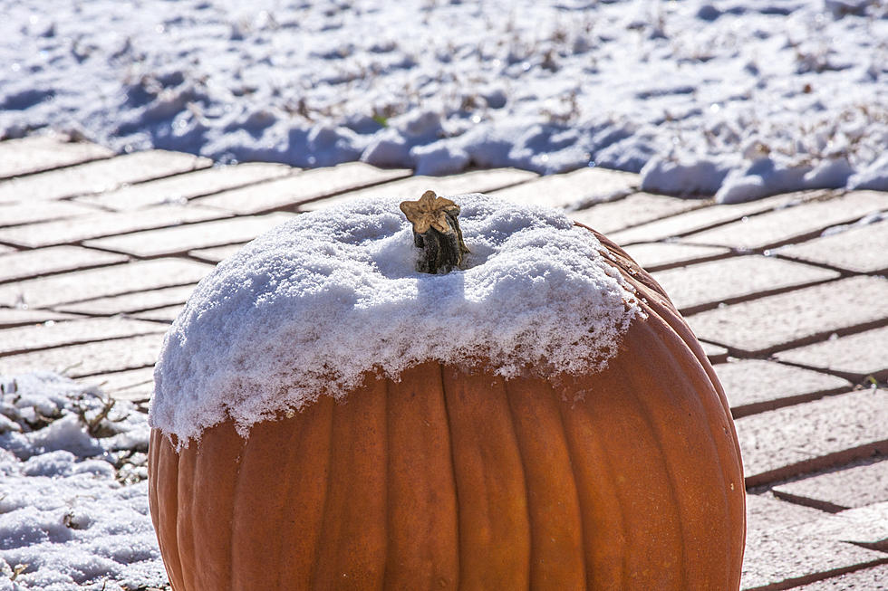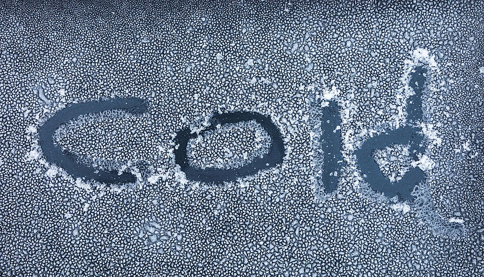
NWS Cheyenne: -25 Degree Wind Chills Possible Through Thursday
The National Weather Service in Cheyenne has issued Wind Chill Advisories for most of southeast Wyoming and the northern Nebraska Panhandle starting at 5 p.m. this afternoon through 8 a.m. Thursday.
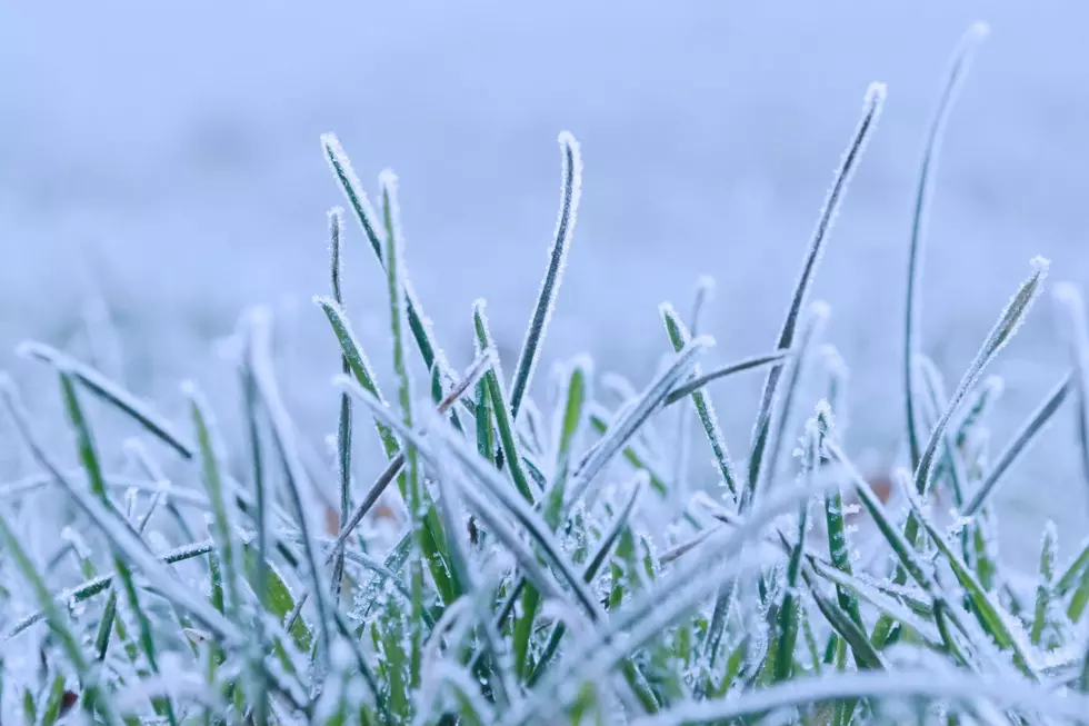
Wind chills as low as 25 degrees below zero are possible.
"Dangerously low wind chills can lead to frostbite in 15 minutes or less if precautions are not taken," the NWS said.

Get our free mobile app
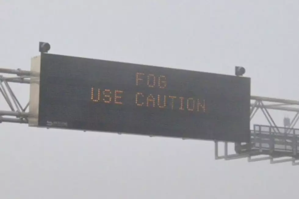
The NWS urges folks to use caution while traveling outside and to wear appropriate clothing, including a knit hat and mittens.
weather.gov/cys
URGENT - WINTER WEATHER MESSAGE
National Weather Service Cheyenne WY
148 PM MST Wed Mar 9 2022

WYZ103-106>108-112-114-116>119-101200-
/O.CAN.KCYS.WS.W.0005.000000T0000Z-220310T1200Z/
/O.NEW.KCYS.WC.Y.0007.220310T0000Z-220310T1500Z/
North Laramie Range-
Central Laramie Range and Southwest Platte County-
East Platte County-Goshen County-Sierra Madre Range-Snowy Range-
South Laramie Range-South Laramie Range Foothills-
Central Laramie County-East Laramie County-
Including the cities of Garrett, Esterbrook, Bordeaux, Wheatland,
Guernsey, Torrington, Centennial, Albany, Buford, Pumpkin Vine,
Vedauwoo, Whitaker, Federal, Horse Creek, Cheyenne,
and Pine Bluffs
148 PM MST Wed Mar 9 2022

...WIND CHILL ADVISORY IN EFFECT FROM 5 PM THIS AFTERNOON TO 8 AM
MST THURSDAY...
...WINTER STORM WARNING IS CANCELLED...

* WHAT...Periods of snow continuing through tonight. Additional
  accumulations less than one inch. Dangerous wind chills as low
  as 25 degrees below zero.

* WHERE...Much of southeast Wyoming into the northern Nebraska
  Panhandle.

* WHEN...From 5 PM this afternoon to 8 AM MST Thursday.

* IMPACTS...Travel may remain hazardous due to to icy roadways and
  reduced visibilities in snow showers. Dangerously low wind
  chills can lead to frostbite in 15 minutes or less if
  precautions are not taken.

PRECAUTIONARY/PREPAREDNESS ACTIONS...

Use caution while traveling outside. Wear appropriate clothing,
knit hat, and mittens.
URGENT - WINTER WEATHER MESSAGE
National Weather Service Cheyenne WY
148 PM MST Wed Mar 9 2022

WYZ105-110-101200-
/O.CAN.KCYS.WS.W.0005.000000T0000Z-220310T0000Z/
/O.NEW.KCYS.WC.Y.0007.220310T0000Z-220310T1500Z/
Shirley Basin-North Snowy Range Foothills-
Including the cities of Medicine Bow, Shirley Basin, Arlington,
and Elk Mountain
148 PM MST Wed Mar 9 2022

...WIND CHILL ADVISORY IN EFFECT FROM 5 PM THIS AFTERNOON TO 8 AM
MST THURSDAY...
...WINTER STORM WARNING IS CANCELLED...

* WHAT...Periods of snow continuing through tonight. Additional
  accumulations less than one inch. Dangerous wind chills as low
  as 25 degrees below zero.

* WHERE...Much of southeast Wyoming into the northern Nebraska
  Panhandle.

* WHEN...From 5 PM this afternoon to 8 AM MST Thursday.

* IMPACTS...Travel may remain hazardous due to to icy roadways and
  reduced visibilities in snow showers. Dangerously low wind
  chills can lead to frostbite in 15 minutes or less if
  precautions are not taken.

PRECAUTIONARY/PREPAREDNESS ACTIONS...

Use caution while traveling outside. Wear appropriate clothing,
knit hat, and mittens.
URGENT - WINTER WEATHER MESSAGE
National Weather Service Cheyenne WY
148 PM MST Wed Mar 9 2022

NEZ019-WYZ104-109-111-113-115-101200-
/O.CAN.KCYS.WW.Y.0012.000000T0000Z-220310T0000Z/
/O.NEW.KCYS.WC.Y.0007.220310T0000Z-220310T1500Z/
Scotts Bluff County-Ferris/Seminoe/Shirley Mountains-
Central Carbon County-Southwest Carbon County-
Upper North Platte River Basin-Laramie Valley-
Including the cities of Scottsbluff, Gering, Seminoe Dam,
Rawlins, Baggs, Saratoga, Encampment, Laramie, and Bosler
148 PM MST Wed Mar 9 2022

...WIND CHILL ADVISORY IN EFFECT FROM 5 PM THIS AFTERNOON TO 8 AM
MST THURSDAY...
...WINTER WEATHER ADVISORY IS CANCELLED...

* WHAT...Periods of snow continuing through tonight. Additional
  accumulations less than one inch. Dangerous wind chills as low
  as 25 degrees below zero.

* WHERE...Much of southeast Wyoming into the northern Nebraska
  Panhandle.

* WHEN...From 5 PM this afternoon to 8 AM MST Thursday.

* IMPACTS...Travel may remain hazardous due to to icy roadways and
  reduced visibilities in snow showers. Dangerously low wind
  chills can lead to frostbite in 15 minutes or less if
  precautions are not taken.

PRECAUTIONARY/PREPAREDNESS ACTIONS...

Use caution while traveling outside. Wear appropriate clothing,
knit hat, and mittens.
URGENT - WINTER WEATHER MESSAGE
National Weather Service Cheyenne WY
148 PM MST Wed Mar 9 2022

NEZ002-003-095-096-WYZ101-102-101200-
/O.NEW.KCYS.WC.Y.0007.220310T0000Z-220310T1500Z/
Dawes County-Box Butte County-Northern Sioux County-
Southern Sioux County-Converse County Lower Elevations-
Niobrara County-
Including the cities of Chadron, Chadron St Park, Alliance,
Hemingford, Harrison, Agate, Douglas, Glenrock, Bill, Deer Creek,
Lusk, and Redbird
148 PM MST Wed Mar 9 2022

...WIND CHILL ADVISORY IN EFFECT FROM 5 PM THIS AFTERNOON TO 8 AM
MST THURSDAY...

* WHAT...Periods of snow continuing through tonight. Additional
  accumulations less than one inch. Dangerous wind chills as low
  as 25 degrees below zero.

* WHERE...Much of southeast Wyoming into the northern Nebraska
  Panhandle.

* WHEN...From 5 PM this afternoon to 8 AM MST Thursday.

* IMPACTS...Travel may remain hazardous due to to icy roadways and
  reduced visibilities in snow showers. Dangerously low wind
  chills can lead to frostbite in 15 minutes or less if
  precautions are not taken.

PRECAUTIONARY/PREPAREDNESS ACTIONS...

Use caution while traveling outside. Wear appropriate clothing,
knit hat, and mittens.
Five Of The Coldest Days in Wyoming History
Did you know that four of the 10 coldest temperatures ever recorded in the continental United States were here in Wyoming?
Winter in Wyoming can be a yo-yo. Really nice, and then really cold. Here's a frigid look back at some of the coldest days in the history of the Cowboy State.
More From 106.3 NOW FM