

Damaging Winds, Large Hail Possible in SE Wyoming Through Thursday
Southeast Wyoming residents should brace for strong to severe thunderstorms today and tomorrow [July 7 and 8].
That will be followed by hot weather, with temperatures hitting the mid- to upper 90s in some areas by early next week.
The agency posted the following on its website:
Isolated to scattered strong to severe storms are possible both Wednesday and Thursday with the primary hazards of large hail and damaging winds. There is a Slight Risk (Level 2 of 5) for severe storms both days. The Nebraska Panhandle has the highest possibility of seeing severe weather, but a few earlier storms could be severe across southeast Wyoming. Remain weather aware tomorrow and Thursday!
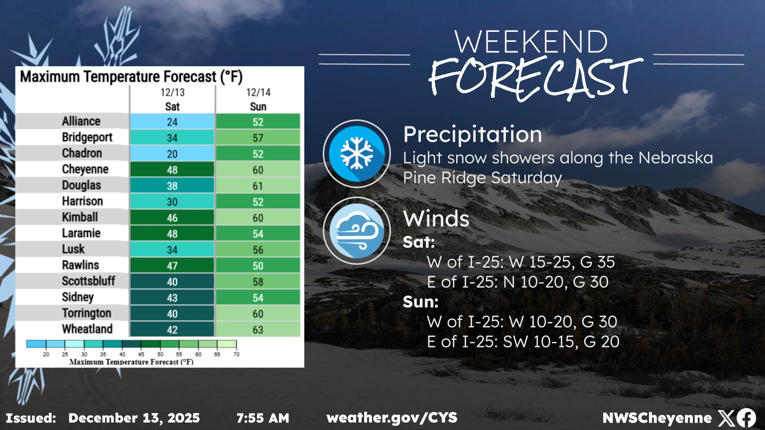
ere’s the forecast for the remainder of the work week. After another warm day on Wednesday, temperatures will cool for Thursday with more widespread precipitation chances (50-80%). The warming trend returns Friday, with very hot temperatures anticipated this weekend (90-100F). Friday will also dry back out, with little no precipitation expected through Tuesday. If you are planning weekend trips, remember to drink plenty of water and try to stay cool!
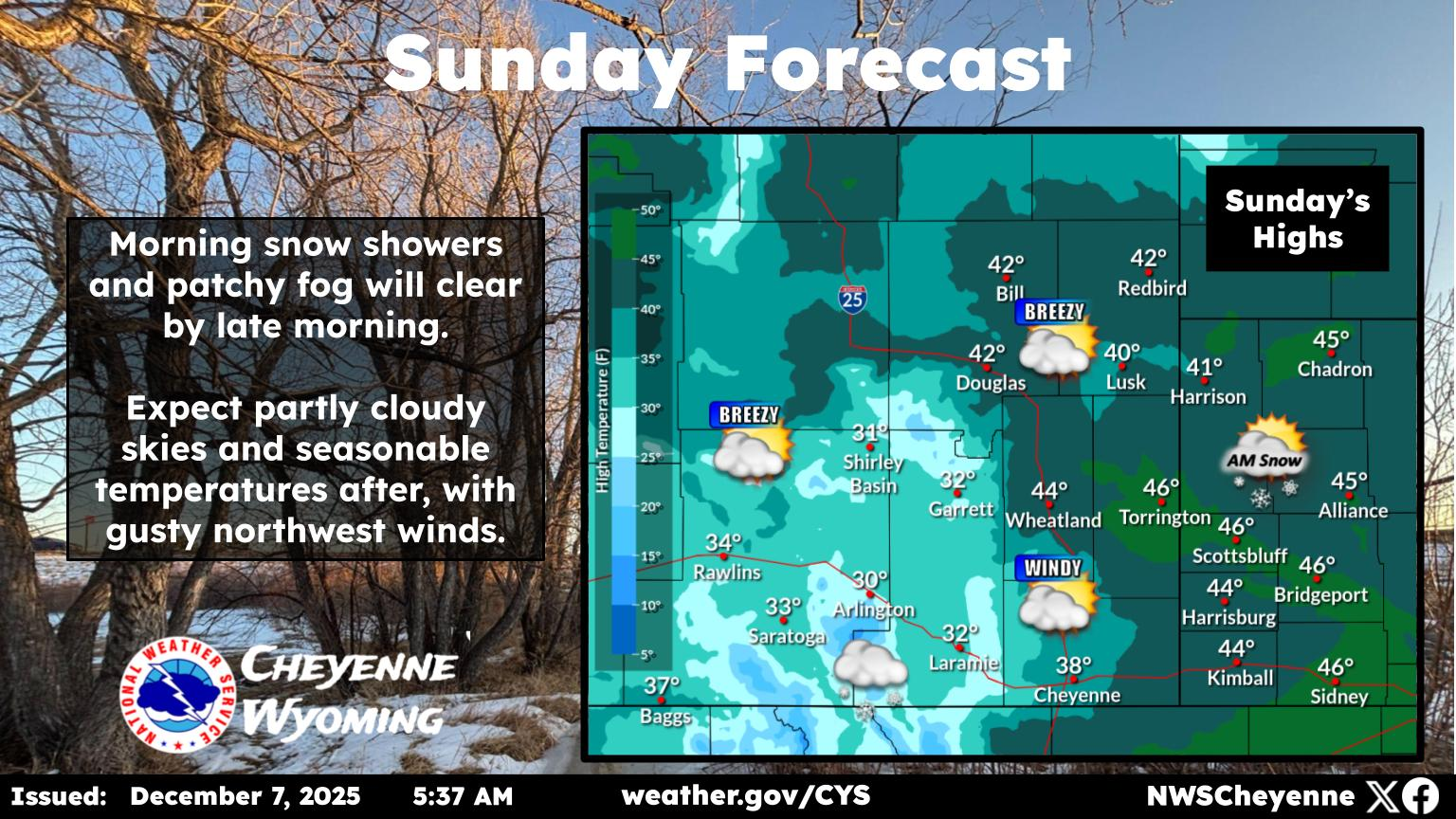
Cheyenne, Laramie Forecasts
Cheyenne Forecast
Wyoming's Vintage Rail Restorations
Gallery Credit: Glenn Woods