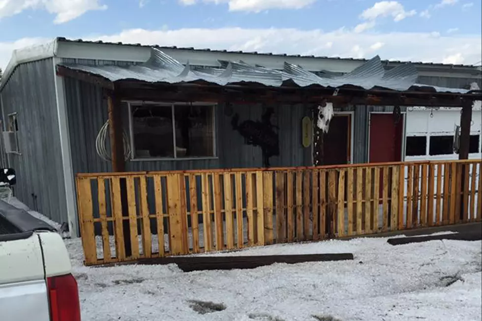
Golfball Size Hail Possible In Cheyenne, Southeast Wyoming Today
The Cheyenne Office of the National Weather Service says severe thunderstorms are possible across southeast Wyoming on Friday afternoon, including the Cheyenne area.
There is also a small risk of tornadoes, but the agency only rates the twister risk at about 2 percent.

The agency posted this statement on its website:
Here is your forecast for Friday across southeast Wyoming and Nebraska Panhandle. Expect afternoon showers and thunderstorms to develop, mainly along the Interstate 80 Corridor from Elk Mountain, east into the Nebraska Panhandle. Better coverage for storms will be east of the Laramie Range, where we could see severe thunderstorms by mid afternoon into the early evening hours. We are under a Slight Risk area for severe thunderstorms for Friday as identified by the Storm Prediction Center. All modes of severe thunderstorm weather are possible, but the main hazard will be large hail to the size of golfballs. There is a low risk (2%) chance for tornadoes as well as a risk for damaging winds. Keep an eye on the sky Friday afternoon and evening, especially if you're in the area identified in the Slight Risk area. Highs Friday will range from 76 at Garrett to 91 at Baggs.
15 Questions You Should Never Ask Someone From Wyoming
- 15 Questions You Should Never Ask Someone From Wyoming
12 Cringeworthy Things Guaranteed to Piss Off Wyomingites
- 12 Cringeworthy Things Guaranteed to Piss Off Wyomingites
Here Are Words And Phrases That Drive Wyomingites Crazy
- Here Are Words And Phrases That Drive Wyomingites Crazy
More From 106.3 NOW FM