Golf-Ball Size Hail, 60 MPH Winds Possible Tuesday For Cheyenne
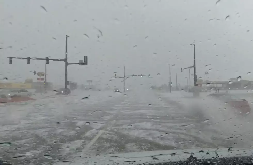
The Cheyenne Office of the National Weather Service is warning about the possibility of golf-ball-size hail and 60 mph winds for areas of southeast Wyoming, including Cheyenne, on Tuesday,
Parts of the Nebraska Panhandle also could see some strong to severe storms.
The agency posted this statement on its website:
''Slight Risk of severe thunderstorms across portions of southeastern Wyoming and the extreme southwest corner of the Nebraska Panhandle Tuesday afternoon. This includes the cities of Chugwater, Cheyenne, and Kimball. Marginal Risk of severe thunderstorms exists for portions of east central Wyoming and the remainder of the Nebraska Panhandle. The marginal risk includes Laramie, Douglas, Scottsbluff, and Chadron. Storms are expected to develop near and along the Laramie Range by afternoon and then move east into the Nebraska Panhandle by evening. Hail up to the size of a golf balls, and strong wind gusts up to 60 MPH are also possible with these storms. While unlikely, an isolated tornado cannot be ruled out. Stay weather aware this afternoon and evening and make sure to have multiple ways of receiving warnings in case any storms turn severe.''


Frontier Days FLASHBACK: Nickelback Rocks In The Rain
More From 106.3 NOW FM