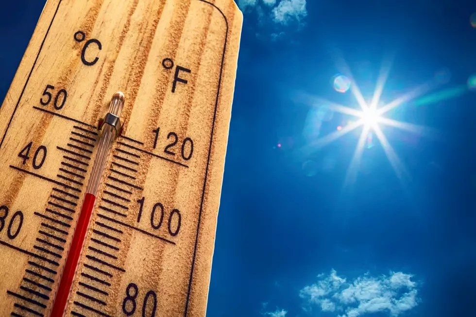
Cheyenne, Laramie Set High Temperature Records Monday
It was a record-setting day across southeast Wyoming and the Nebraska Panhandle on Monday.
That's according to the Cheyenne Office of the National Weather Service, which posted this on Monday evening:
Record heat was widespread today across southeast Wyoming and Nebraska Panhandle. Numerous daily maximum temperatures were broken across southeastern Wyoming and the Nebraska Panhandle! Another warm, breezy and very dry day expected Tuesday, but nothing near what we experienced today. Highs Tuesday range from 88 at Laramie to 99 at Sidney.

In fact, for Cheyenne, it was not only a record for the date, but it made the all-time list as well:
''Just how hot was it yesterday? Several of our stations with sufficiently long records recorded a top 10 hottest day all-time! The 99F reading in Cheyenne tied for the 5th hottest day all-time with records back to 1872. The impressive 111F in Chadron tied for the second hottest day all-time, with records back to 1915. Scottsbluff tied for the 4th hottest day all-time, with records back to 1893.''
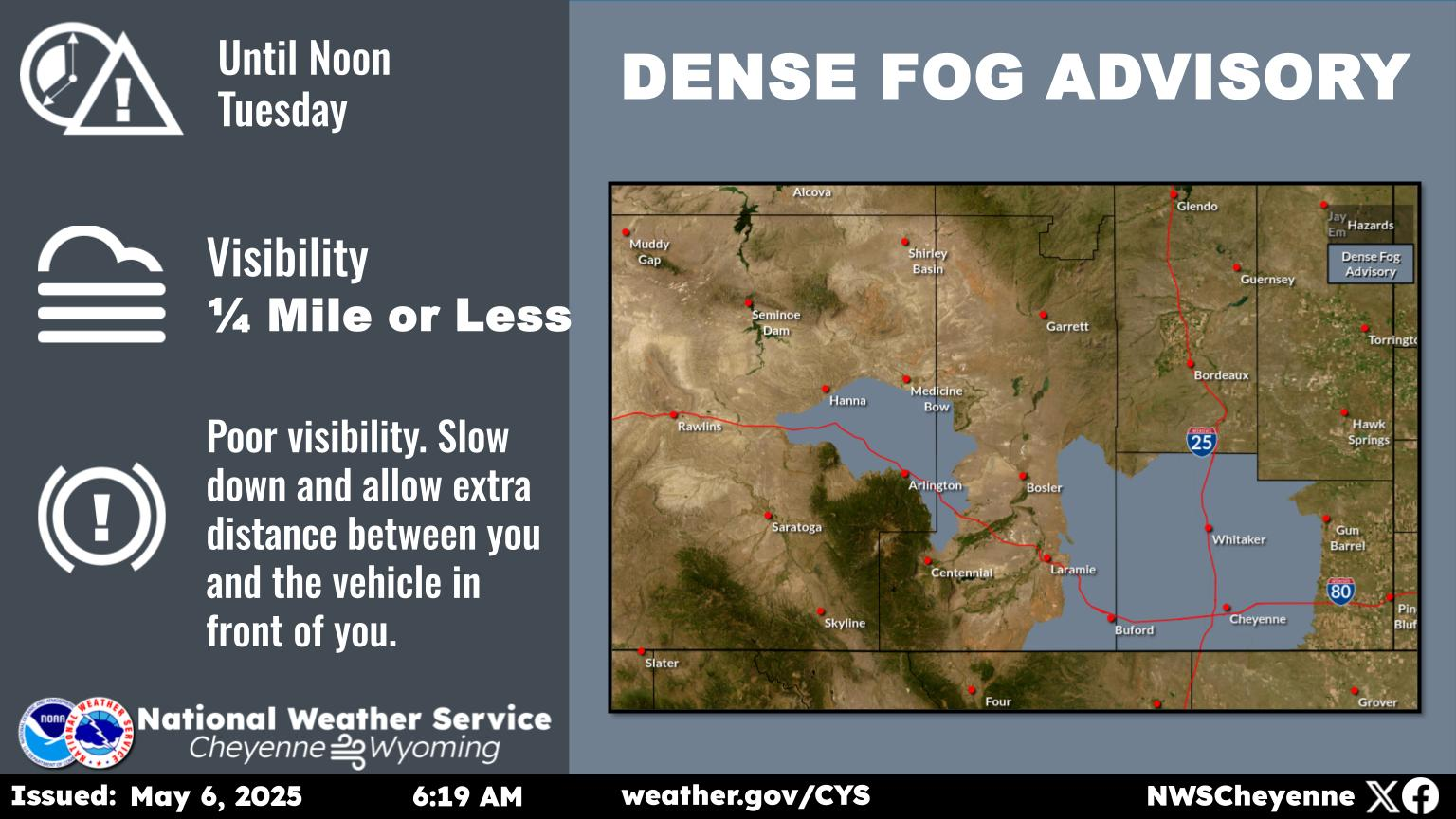
The good news is that while Tuesday will be another very warm to hot day, it won't quite be on par with yesterday:
''A “cool” front is pushing through this morning and will bring slightly less hot temperatures in for today and tomorrow, even though we will still be above average for this time or year. Another round of low to mid 90s with upper 80s west of the Laramie range and near the Pine Ridge can be expected today. It will be very dry and breezy, so the fire danger will remain very high despite cooler temperatures! The heat builds in once again tomorrow, with 90s expected along and east of I-25, and upper 80s to the west. It'll be less windy, but we may see some isolated thunderstorms in the higher terrain and near the Colorado border.''
Wyoming's Top 11 Museums To See
More From 106.3 NOW FM