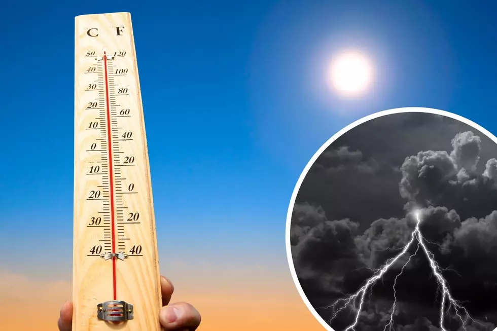
Cheyenne Area in for a Weather Roller Coaster This Week, NWS Says
A roller coaster of temperatures, elevated fire weather and possible travel impacts with snow will inundate southeast Wyoming and the Nebraska Panhandle this week, according to the National Weather Service in Cheyenne.
The agency issued the following statement early Thursday morning:
5 AM MDT April 8 Update: A rollercoaster ride of high temperatures this week under a progressive pattern as more active weather visits southeast Wyoming and the west Nebraska Panhandle. Warm and dry conditions today under clear skies will lead to elevated to critical fire weather conditions. A Red Flag Warning is in place for the south Nebraska Panhandle. A cold front will pass through the region overnight tonight for a chilly day in the 40s with a slight chance of snow showers. Above normal temperatures around 60 degrees and elevated fire weather concerns will return with another ridge of high pressure Saturday. But look for another cold front and chances for showers once again Sunday and beyond. Rain showers possible over the daytime hours, snow showers overnight. Minor travel impacts are possible with snow showers. Stay tuned as this is a complex forecast! Weather.gov/cheyenne.
The Worst Storms Of The Decade In Southeast Wyoming
More From 106.3 NOW FM