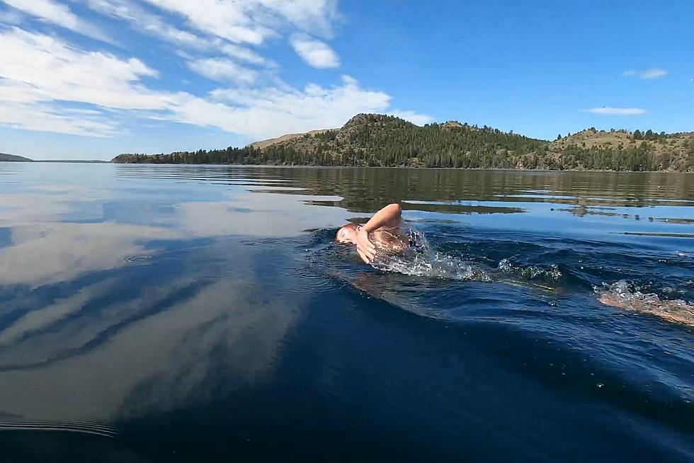
Wyoming Drought Report, August 2020
Some years are wet, some are dry. It is a back and forth cycle that, for Wyoming, is mostly due to El Niño and La Niña. According to NOA "El Niño and La Niña episodes typically last nine to 12 months, but some prolonged events may last for years. While their frequency can be quite irregular, El Niño and La Niña events occur on average every two to seven years. Typically, El Niño occurs more frequently than La Niña."
Back in July of this year, Cheyenne-based meteorologist Don Day Jr. spoke about parts of Wyoming seeing their driest July on record. But that isn't the case everywhere, as areas like extreme southeast Wyoming are experiencing a much wetter stretch of summer weather.
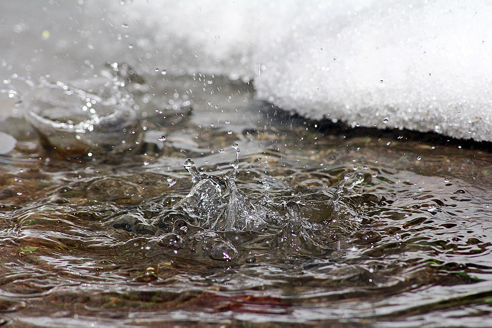
Now that we are into August 2020, let's have another look at those parts of Wyoming that desperately need rain.
Drought.gov gives a visual in a color coded heat map. This site focuses on broad-scale conditions. Local conditions may vary.
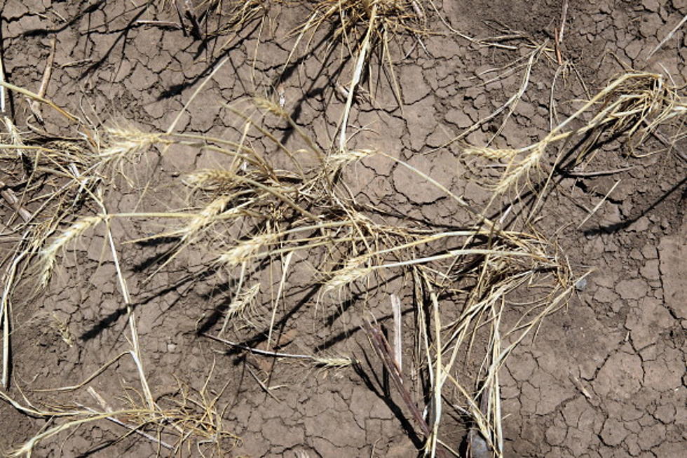
The current map is right in line with what Don Day told us back in July. Areas around Buffalo and down I-25 to Casper are currently the driest in the state. Another large area around Worland, where there were some rather large grass fires recently, have not seen conditions like this in many years. Currently there is a large fire burning in Carbon County. Over the weekend firefighters battled the Richard Mountain Fire. Red Flag Conditions are not helping.
Most of the rest of the state is in the "dry" to "moderate drought" category.
I ask Don Day, daily, for an update on these conditions and when we can expect to see the end of it. His answer is not what anyone really wants to hear: apparently we'll just have to hang in there a bit longer.
Below is the audio of what Don Day, of Day Weather, had to say.

MUST SEE: 7 Wyoming Waterfalls Worth a Road Trip
More From 106.3 NOW FM