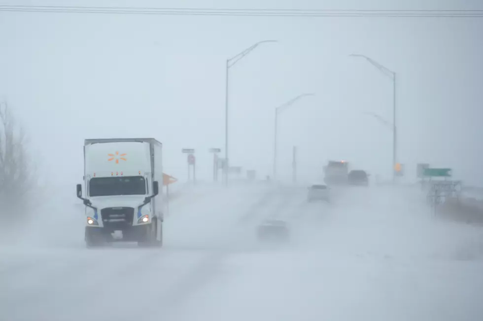
Snow, Blowing Snow, Subzero Windchills In SE Wyoming This Week
The weather in southeast Wyoming is expected to take a wintry turn later this week according to the Cheyenne Office of the National Weather Service.
The agency posted this statement to its website early Monday morning:
''Enjoy the temperatures today and Tuesday as the weather is going to change mid week to a more wintry pattern. Could see record high temperatures Tuesday with mid 60s in the Nebraska Panhandle and low 50s near Laramie. A cold front moves through during the day Wednesday, with snow developing west of the Laramie Range during the day. This snow spreads east into the Nebraska Panhandle Wednesday evening with significant snow accumulations possible across the area by Thursday morning. Travel on I-80/I-25 looks to be significantly impacted Wednesday evening through Thursday morning with snow and blowing snow. Another low pressure system expected Friday into Saturday with strong winds, snow and blowing snow and very cold temperatures. Significant travel impacts expected to continue Friday and Saturday with these strong winds creating blowing snow. Very cold temperatures will create windchill temperatures well below zero, impacting cattle and outdoor pets. Keep an eye on the forecast as impacts will be on the rise and winter headlines will likely be needed for a large portion of the area."

LOOK: Here are the best small towns to live in across America
LOOK: See the iconic cars that debuted the year you were born
More From 106.3 NOW FM