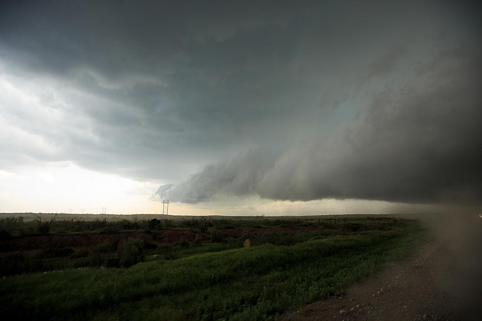
Severe Thunderstorm Watch Wednesday – Includes Cheyenne
Severe Thunderstorm Watch in effect until 10:00 PM Wednesday (May 20). The Watch area includes much of eastern Wyoming, the Nebraska panhandle, parts of northeastern Colorado, and parts of South Dakota.
The city of Cheyenne and Laramie County are included in the watch.
REMEMBER...A Severe Thunderstorm Watch means conditions are favorable for severe thunderstorms in and close to the watch area. Persons in these areas should be on the lookout for threatening weather conditions and listen for later statements and possible warnings. Severe thunderstorms can and occasionally do produce tornadoes. -National Weather Service
URGENT - IMMEDIATE BROADCAST REQUESTED
   Severe Thunderstorm Watch Number 195
   NWS Storm Prediction Center Norman OK
   220 PM MDT Wed May 20 2020

   The NWS Storm Prediction Center has issued a

   * Severe Thunderstorm Watch for portions of
     Northeast Colorado
     Nebraska Panhandle
     Western South Dakota
     Eastern Wyoming

   * Effective this Wednesday afternoon and evening from 220 PM
     until 1000 PM MDT.

   * Primary threats include...
     Scattered large hail and isolated very large hail events to 2.5
       inches in diameter possible
     Scattered damaging wind gusts to 70 mph possible
     A tornado or two possible

   SUMMARY...Storms will continue to develop and intensify this
   afternoon initially across eastern Wyoming. Initial supercells are
   expected with large hail a distinct possibility. Over time, storms
   will develop/spread toward western portions of South Dakota and
   Nebraska, and also develop southward into northern Colorado by
   evening. The damaging wind threat will also increase by early
   evening and a tornado cannot be ruled out, particularly along the
   Wyoming/South Dakota/Nebraska border vicinity.

   The severe thunderstorm watch area is approximately along and 65
   statute miles east and west of a line from 70 miles northeast of
   Gillette WY to 65 miles southwest of Sidney NE. For a complete
   depiction of the watch see the associated watch outline update
   (WOUS64 KWNS WOU5).
Enter your number to get our free mobile app
The Most Destructive Tornado in Wyoming's History - July 16, 1979 Cheyenne Tornado
More From 106.3 NOW FM