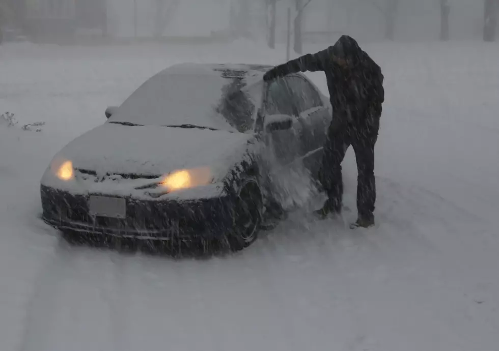
60 Mile-Per-Hour Winds, Blowing Snow Expected In SE Wyoming
While a Blizzard Warning for Cheyenne and central Laramie County was canceled late Tuesday afternoon, many areas of southeast Wyoming and the Nebraska Panhandle remain under Blizzard or Winter Storm Warnings this morning [December 14].
Meanwhile, Cheyenne and Central Laramie County are under a high wind warning. It just won't be a good day to travel, and in fact. as of Wednesday morning, large stretches of Interstates 80 and 25 remained closed.
The Cheyenne Office of the National Weather Service posted this weather update this morning:
Although snow is expected to wind down today, wintery conditions will still exist across the area. Blizzard warnings are still in place for the Nebraska panhandle and portions of southeast Wyoming through 11 PM tonight. Minor snowfall accumulations are still possible in the blizzard warned areas with winds gusting as high as 50 to 60 MPH. This will lead to widespread blowing snow and severely reduced visibility. Portions of Laramie County are under a High Wind Warning until 11 PM for wind gusts up to 60 MPH. Patchy blowing and drifting snow could be possible. The Snowy and Sierra Madre Ranges continue to be under a Winter Storm Warning until 11 PM for additional snow accumulations of up to 6 inches and patchy blowing snow.