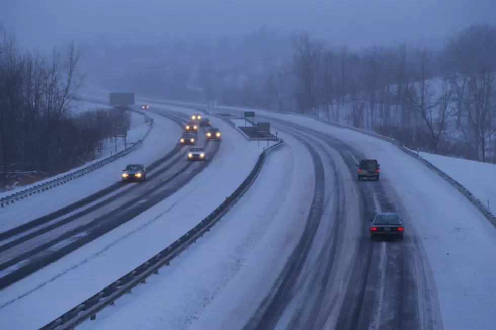
Cheyenne, Laramie Likely To See Snow This Week
The Cheyenne Office of the National Weather Service is saying that changes in southeast Wyoming weather are on the way, with Cheyenne and Laramie both likely to see snow later in the week.
The agency posted this statement on its website:
Changes are coming in the weather for southeast Wyoming and Nebraska Panhandle. An approaching low pressure system and associated cold front will bring increasing winds to the area Tuesday and Wednesday. A Fire Weather Watch is in effect for parts of the area Tuesday, that will likely continue into Wednesday. A High Wind Watch is in effect for most of Carbon County, to include Saratoga, Rawlins and Muddy Gap for Wednesday. The front is expected to move into the area from the west Wednesday night, with much colder temperatures and increasing chances for snow Thursday. Best chances for accumulations will be along and west of the Laramie Range, but just about everyone should see snow as the colder air settles into the area behind the front. Snow expected to end from north to south early Friday morning. Stay tuned to later updates in the forecast as we get closer to the snow event.
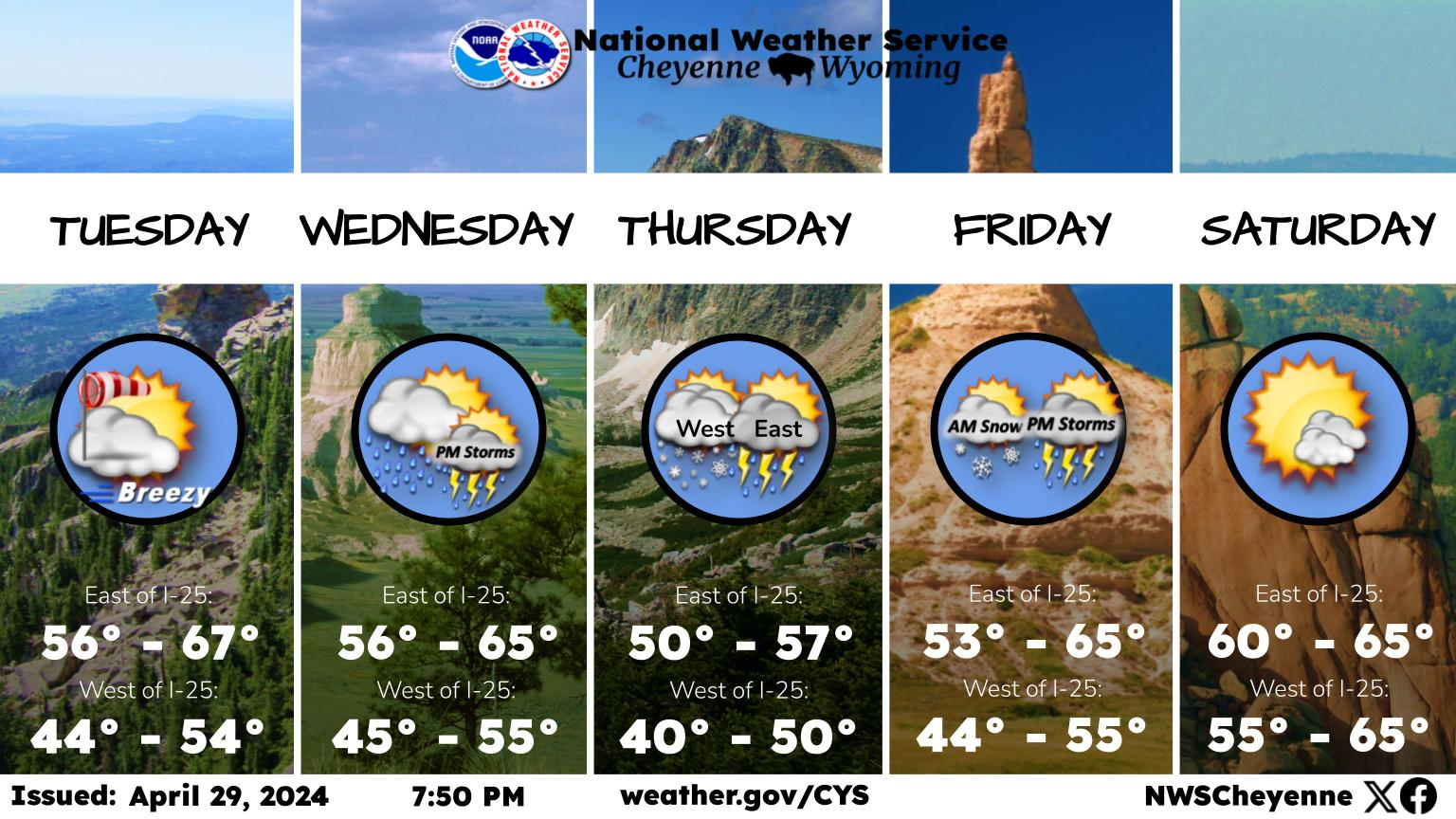
The Cheyenne forecast for Thursday does include snow:
Wyoming's National Museum of Military Vehicles
More From 106.3 NOW FM